Subject: Atlases
Period: 1891 (published)
Publication:
Color: Printed Color
Size:
11.5 x 13.9 inches
29.2 x 35.3 cm
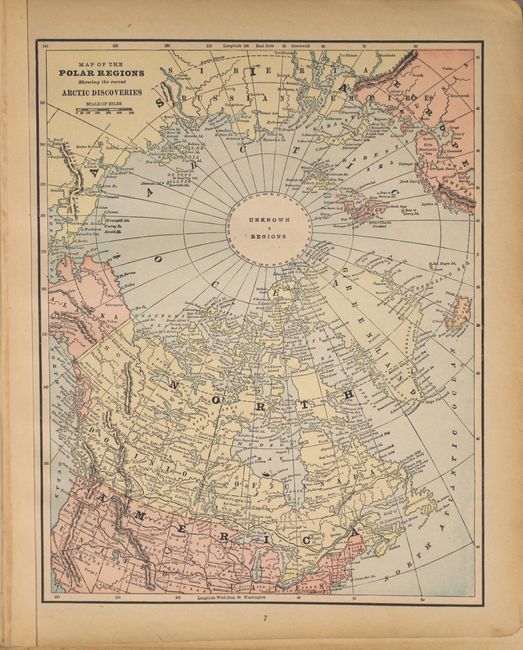
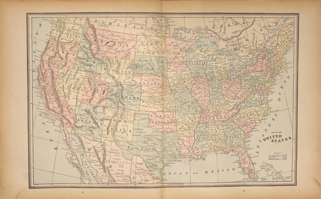
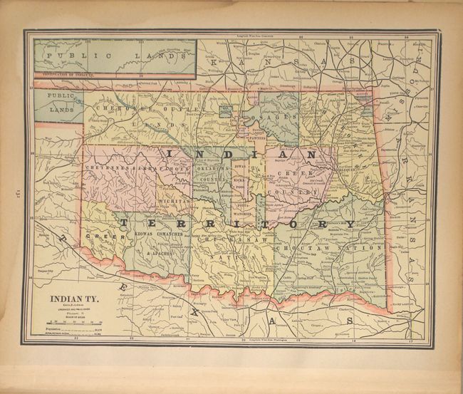
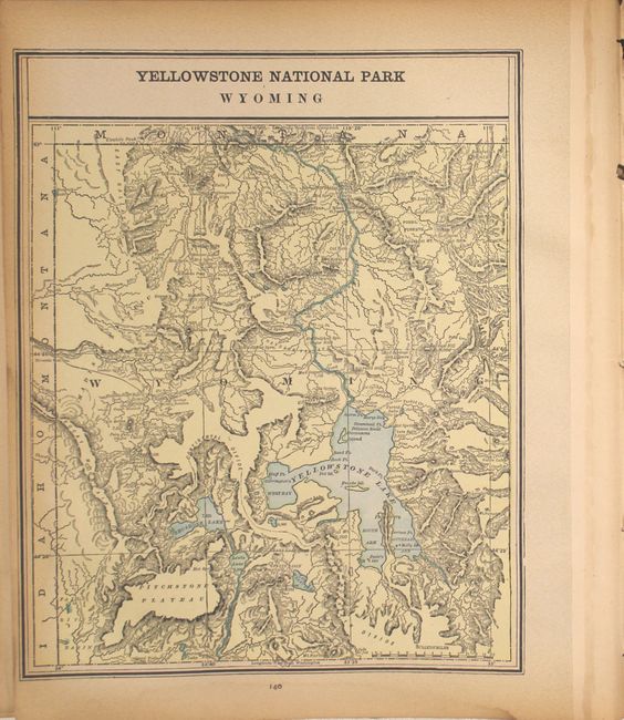
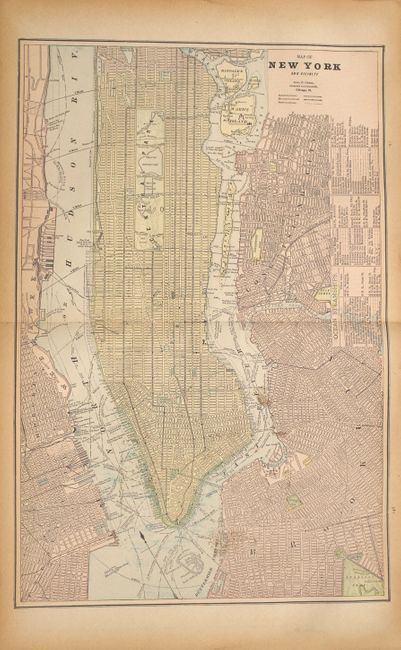
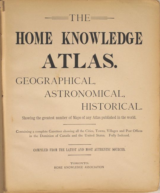
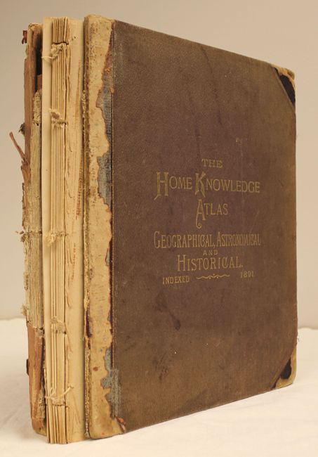
Nice late 19th century atlas with maps by George F. Cram and matching the format of his Unrivaled Atlas. The title pages boasts "Showing the greatest number of Maps of any Atlas published in the World." 409 pp., over 200 printed color maps including Canada and its provinces, the U.S. and each separate state, scores of city plans, countries of the world and a few historical maps. There is also an extensive section on astronomy and celestial maps. Maps printed on both sides. Original, embossed cloth binding with gilt lettering. Marbled end papers. This is the Canadian issue published from Toronto.
References:
Condition: B+
Condition code is for the maps, which are very clean and bright, with an occasional spot and light toning along sheet edges, just entering the image on a few maps. There is a light damp stain at bottom right through pages 95-199, also entering the image on just a few maps. The maps are quite loose - barely held together by a string. The front and back covers are detached and soiled and the spine is perished. This should be considered a collection of maps.