Subject: Atlases
Period: 1859 (published)
Publication:
Color: Hand Color
Size:
15.5 x 18 inches
39.4 x 45.7 cm
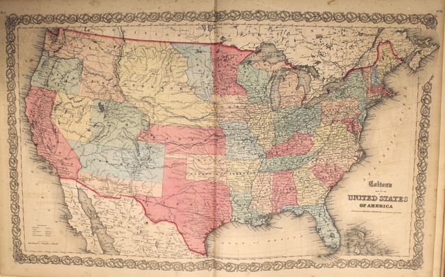
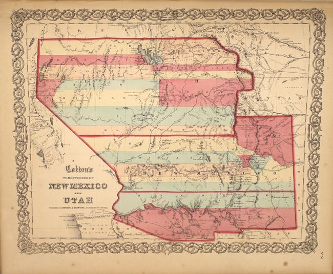
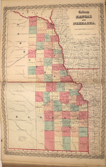
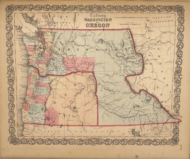
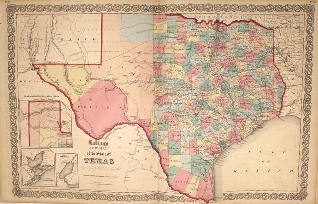
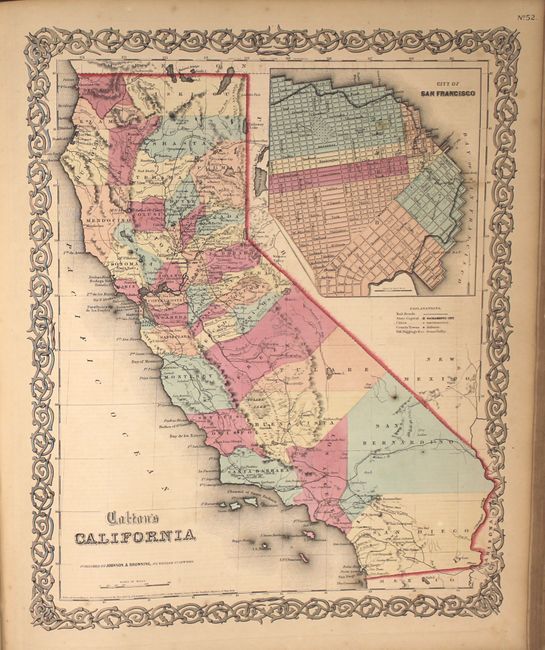
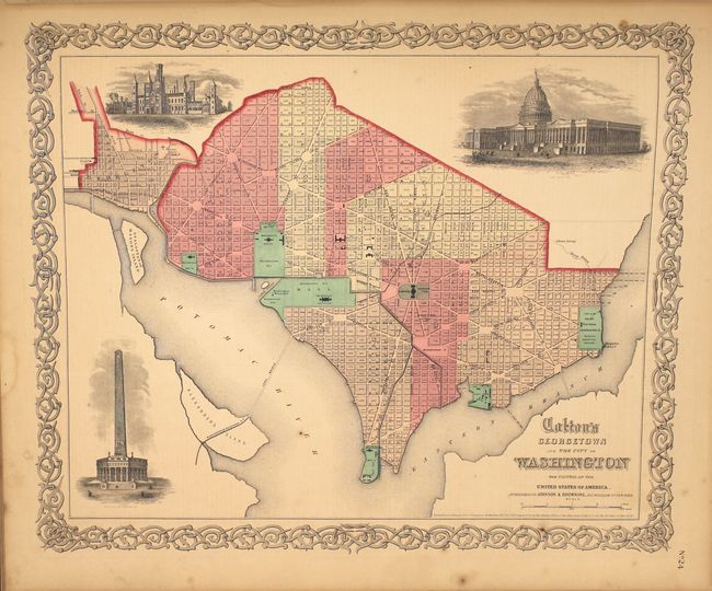
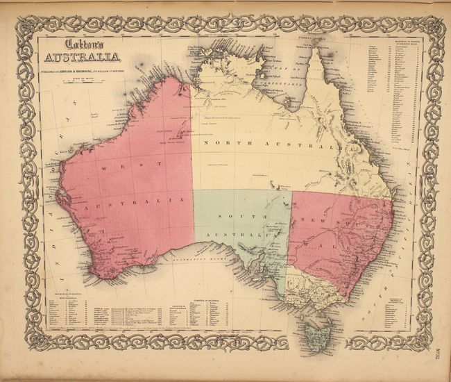
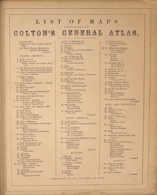
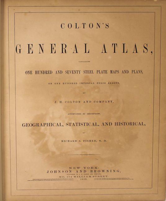
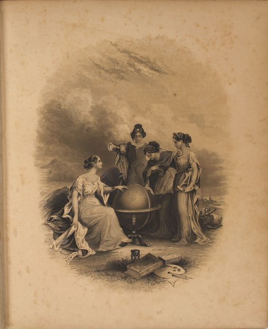
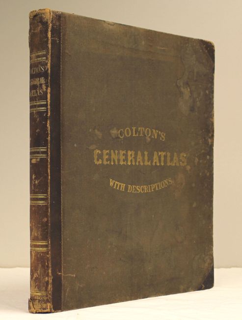
Colton's massive single-volume General Atlas, is considered by many to be the pinnacle of American cartography in the latter part of the 19th Century. There are 89 single-page and 6 (out of 7 - missing New York State) double-page maps in all, including many highly sought-after state and regional maps. It includes the desirable Territories of New Mexico and Utah depicting the region with the largest configurations of the Utah and New Mexico territories. Other important state maps featured in this atlas are the double-page editions of Kansas and Nebraska, which shows little development in the western reaches of each state; Washington & Oregon, which shows Washington Territory encompassing the region that would become Idaho; and nice maps of Texas and California. The atlas also features several thematic maps including Mountains and Rivers and Comparative Size of Lakes and Islands. A pair of fine city plans are the single-page, uncolored Environs of London and Environs of Paris. The frontispiece features four beautiful muses gathered around the globe in a classical allegorical engraving. This is a beautiful example of a rarely offered atlas by one of America's pre-eminent cartographers. The atlas is nearly complete with only the map of the state of New York missing. The volume includes a frontispiece, title page, list of maps, text and maps. Folio. Hardbound in original quarter calf with tips over green cloth with decorative gilt titling on front and spine. Marbled edges.
References:
Condition: B+
The maps have bold original color and range in condition from near fine to good, with light toning, occasional spots of foxing, and faint offsetting. The double-page world map has a centerfold separation at bottom. The binding is sound, the covers are moderately worn and stained, and the spine is worn and torn at top and bottom.