Subject: Atlases
Period: 1833 (dated)
Publication:
Color: Hand Color
Size:
8.8 x 11 inches
22.4 x 27.9 cm
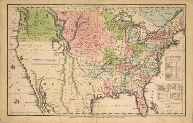
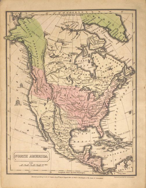
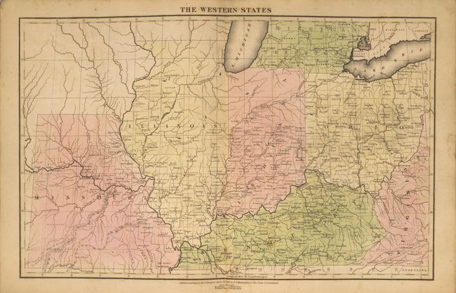
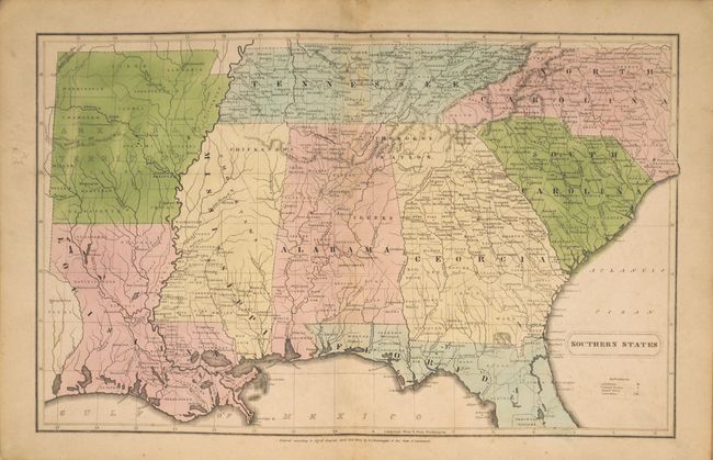
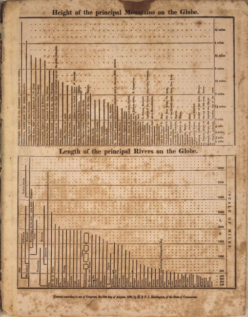
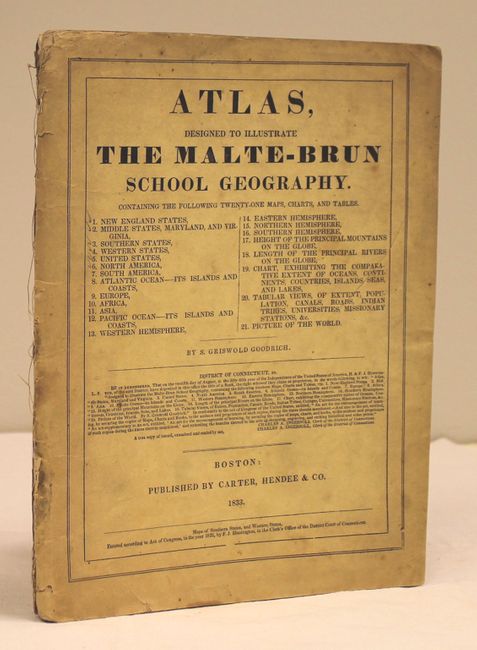
This nice school atlas contains 13, full and double-page, maps plus five tables. It includes 4 maps of U.S. regions, a map of the United States, maps of the 5 continents, maps of the Atlantic and Pacific Oceans, and a sheet with two world maps. The map of the Untied States has a huge Missouri Territory taking in the plains region and a large Oregon Territory taking in the entire Pacific Northwest including parts of present-day British Columbia. It also shows Arkansas Territory with its western boundary extending to Mexico, which incorporates Texas and the entire Southwest. Printed paper wrappers.
References:
Condition: B+
The maps are very good to near fine with some very occasional scattered foxing and a short fold separation at the bottom of the United States map. The tables and charts following the maps are heavily foxed. Paper covers are soiled and partially detached.