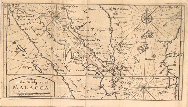
Subject: Malay Peninsula & Sumatra
Period: 1705 (published)
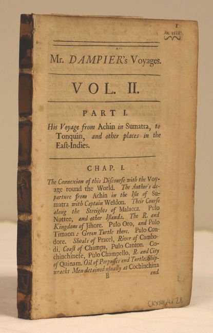
Publication: Dampier's Voyages and Descriptions
Color: Black & White
Size:
11 x 5.9 inches
27.9 x 15 cm
This map is centered approximately on Singapore and covers a portion of southeast Asia including Malaysia and Indonesia (Sumatra and Borneo). There is good detail of the coastline and numerous smaller islands located throughout. North is oriented to the right with the "equinoctiall line" passing through Sumatra. Also included with the map is 184 pp. of related text (4.8 x 7.5").
William Dampier (1652-1715) was a soldier, buccaneer, pirate, British navy captain and hydrographer. He was also among the most influential of travel writers. Dampier completed his first circumnavigation between 1679 and 1691, during which he was among the first group of Englishmen to land in New Holland (Australia).
References:
Condition: B+
Map is lightly toned with a few spots of foxing. Disbound text is lightly toned with scattered foxing.