Catalog Archive
Auction 151, Lot 599

"A New Map of Turkey in Asia", Laurie & Whittle

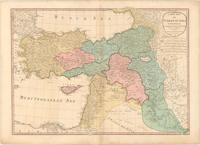
Subject: Middle East

Period: 1794 (dated)

Publication:

Color: Hand Color

Size:
28.4 x 20.6 inches
72.1 x 52.3 cm
Download High Resolution Image
(or just click on image to launch the Zoom viewer)

This sharply engraved map is based on the cartography of the important French cartographer, Jean Baptiste Bourguignon d'Anville. It shows the region from Turkey to Iran and Armenia, and includes the Black and Mediterranean Seas and a portion of Europe. Syria, Cyprus, Kurdistan, Al Gezira, and Iraq are also noted. The topography, towns and caravan routes are noted on this detailed map.

References:

Condition: B

Original color with light offsetting and toning along the centerfold. A centerfold separation that enters 2.5" into map at bottom has been archivally repaired.

Estimate: $200 - $230

Sold for: $150

Closed on 11/19/2014

Archived