Catalog Archive
Auction 151, Lot 543

"Pascaarte van Witte-Zee Begrypende de Custen van Laplandt...", Keulen, Johannes van
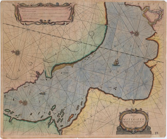
Subject: White Sea

Period: 1690 (circa)

Publication:

Color: Hand Color

Size:
20.3 x 16.9 inches
51.6 x 42.9 cm
Download High Resolution Image
(or just click on image to launch the Zoom viewer)

This scarce chart depicts the central portion of the White Sea, extending to Archangelsk in the southeast. The area labeled Laplandt represents the Kola Peninsula. The map is handsomely adorned with two strapwork cartouches, three compass roses, a galleon and a fishing boat.

References:

Condition: B+

On watermarked paper with light toning, minor soiling, and one small burn hole at bottom left.

Estimate: $400 - $500

Sold for: $300

Closed on 11/19/2014

Archived