Catalog Archive
Auction 151, Lot 508
NO RESERVE
"The South Eastern Part of France Which Includes Roussillon-Languedoc, with a Great Portion of Rouergue and Auvergne-Provence-Dauphine, and the Whole Frontier of Italy", Faden, William
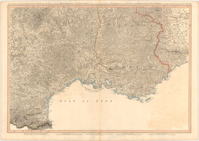
Subject: Southeastern France
Period: 1799 (dated)
Publication:
Color: Hand Color
Size:
30.6 x 21.1 inches
77.7 x 53.6 cm
Download High Resolution Image
(or just click on image to launch the Zoom viewer)
(or just click on image to launch the Zoom viewer)