Catalog Archive
Auction 151, Lot 478

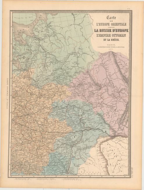
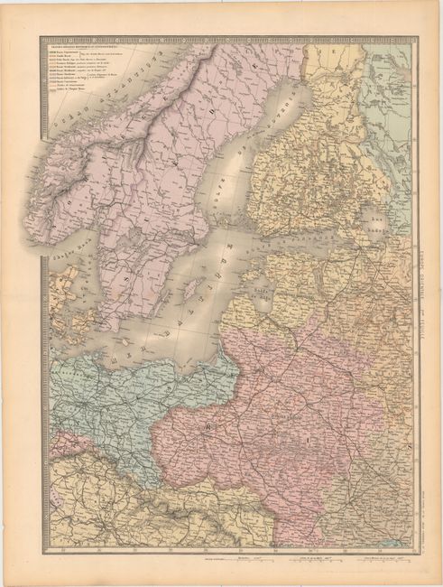
"[On 2 Sheets] Carte de l'Europe Orientale Comprenant la Russie d'Europe l'Empire Ottoman et la Grece", Andriveau-Goujon, E.

Subject: Northern & Eastern Europe

Period: 1877 (dated)

Publication: Atlas Universel

Color: Hand Color

Size:
18.1 x 24.5 inches
46 x 62.2 cm
Download High Resolution Image
(or just click on image to launch the Zoom viewer)

This handsome map spans from Scandinavia to Russia and includes Germany, Poland, the Baltic states, and parts of Austria, Ukraine, and Kazakhstan. Political divisions, roads, towns and cities, railroads, lakes, rivers, and more are shown. A key at top left on the western sheet explains the color-coding and the boundaries of the Russian Empire and various governments. Size of sheets varies slightly.

References:

Condition: B+

Attractive original color with faint offsetting and toning in the blank margins. There are a few spots along the centerfold of the western sheet.

Estimate: $200 - $230

Sold for: $150

Closed on 11/19/2014

Archived