Catalog Archive
Auction 151, Lot 333

"Republic of Mexico. And Texas", Wyld, James

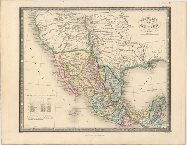
Subject: Western United States & Mexico

Period: 1850 (circa)

Publication: Atlas of the World

Color: Hand Color

Size:
10.8 x 9 inches
27.4 x 22.9 cm
Download High Resolution Image
(or just click on image to launch the Zoom viewer)

This map covers the region from northern California south to Guatemala and shows the political divisions of Mexico in full color. There is good detail of topography and the river system with a note in the Great Basin stating "L. Youtaw probably L. Timpanogos of the Spaniards." A table at bottom left shows the population and square miles of the provinces of Mexico. Decorated by a fancy title cartouche and surrounded by a keyboard style border. Engraved by Stockley.

References:

Condition: A

Attractive color with one small spot south of Baja California.

Estimate: $140 - $170

Sold for: $100

Closed on 11/19/2014

Archived