Subject: Yellowstone, Wyoming & Montana
Period: 1871 (dated)
Publication: Sen. Ex. Doc. 66, 42nd Congress, 2nd Session
Color: Black & White
Size:
12 x 27.2 inches
30.5 x 69.1 cm
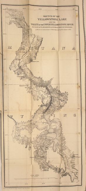
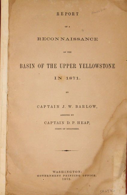
This scarce map is from Barlow and Heap's "Letter from the Secretary of War, Accompanying an Engineering Report of a Reconnaissance of the Yellowstone River in 1871." The captains were dispatched by Lieut. General Sheridan to investigate the reports of extraordinary phenomena in the Yellowstone region. They entered the area that would become Yellowstone National Park in July 1871 under the same military escort provided for the Hayden party. After splitting from the main group, the expedition visited Tower Falls, Mount Washburn, the lower and upper falls of the Yellowstone River, Mud Volcano, Yellowstone Lake, and numerous geyser basins. They then proceeded southward to explore the basins of the upper Snake and Yellowstone Rivers, the first detailed exploration of these areas since the 1830s. The map details the routes traveled and locates camp sites with dates. There is detailed topography, watershed and landmarks. Blevins comments that Barlow and Heaps's "map provides the first detail of many areas of the park as the Hayden maps based upon his 1872 survey would not be published until 1873." An important map that should be in any Yellowstone collection. Accompanied by the complete, disbound, 43-page report.
References: Blevins #225; Wheat 1220.
Condition: B
Scattered foxing with a binding tear that just passes the neatline. Text is generally clean with damp stains in the bottom corners of the pages..