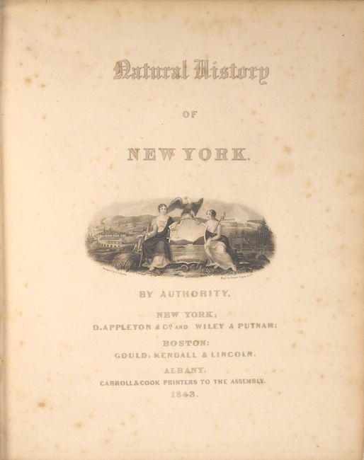
Subject: New York
Period: 1843 (dated)
Publication:
Color: Hand Color
Size:
9.5 x 12 inches
24.1 x 30.5 cm
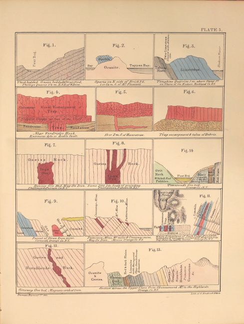
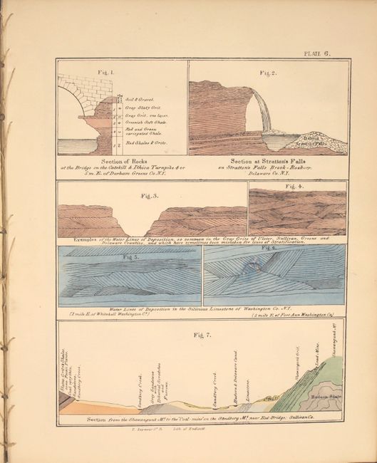
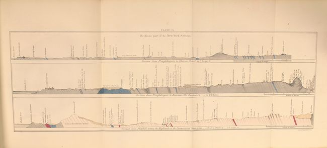
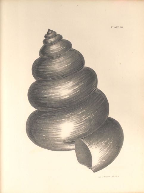
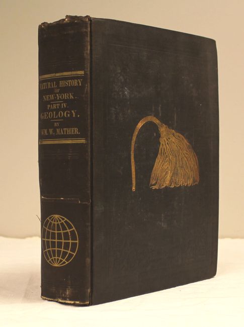
This large and informative book is the report of the survey for the First Geological District and contains 46 beautiful lithographic plates (39 hand colored) at the back of the report with 653 pp. of text and an appendix describing the plates. The 1st Geological District comprises twenty-one counties in southeastern New York, and extends from the north end of Washington county between Lakes Champlain and George, southwesterly to the Susquehannah River; so as to include the counties of Washington, Saratoga, Schenectady, Schoharie, Delaware, and all east and south of this line. The geology and economic deposits of counties encompassed by this area are all described in the report. The report devotes considerable space to a discussion of stratigraphy and glacial drift. Although Mather did not accept Agassiz's ice sheet glacial theory (he adopted an iceberg interpretation), his data on erratic boulders and other glacial features was so complete that later geologists were able use this information to reconstruct the backbone of Long Island as the terminal moraine of a great continental ice sheet. The report contains classic views of New York features (Saratoga Springs and Howe's Cave), many early drawings of fossils, and numerous plates showing geological and topographical features, cross-sections, profiles, and maps, most in color. The volume is complete with all plates and the large folding geological map is present. Quarto, hardbound in original brown cloth with fossil graphic on front cover.
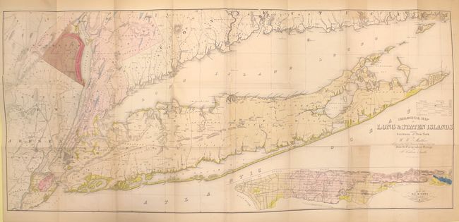
Bound into the book is Mather's large folding Geological Map of Long & Staten Islands... ( 50 x 22.5") that was based on the surveys of J. Calvin Smith. This colorful geological map depicts 8 different geologic types and covers Long Island, Staten Island and the greater environs of the New York City area. At lower-right is an inset of New York Island or Manhattan. Editions of this book with the map still attached are quite scarce.
References:
Condition: B+
Maps, plates, and text are generally bright and clean with occasional spots of foxing. The large folding map of Long Island is lightly toned with faint offsetting and a 2.5" binding tear at left. Covers are lightly rubbed with some wear along spine edges. The spine is cracked and nearly detached.