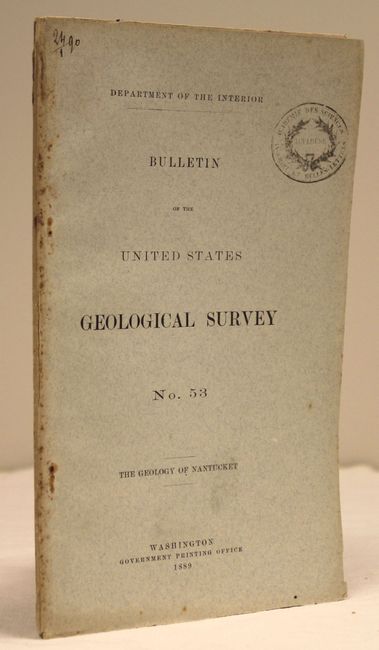
Subject: Nantucket, Massachusetts
Period: 1889 (published)
Publication:
Color: Hand Color
Size:
6 x 9.2 inches
15.2 x 23.4 cm
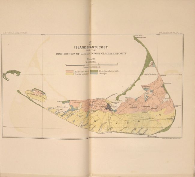
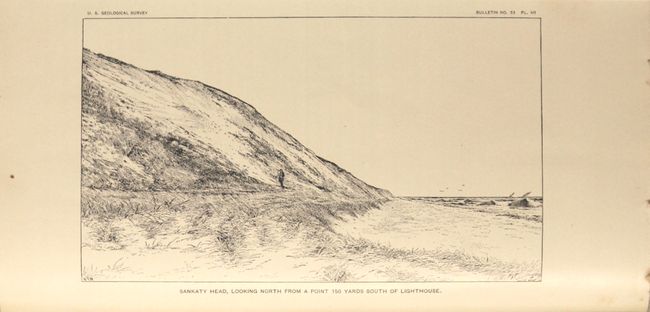
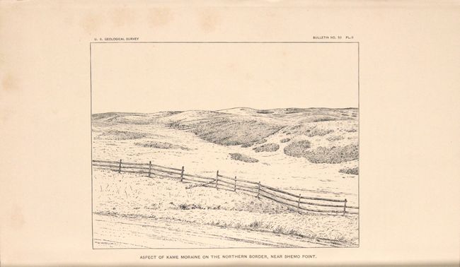
This is one of the earliest comprehensive geologic reports of Nantucket, with detail on geologic history, surficial deposits, coastline and beaches. Included in the report are nine plates and a colored folding map entitled Map of the Island of Nantucket Showing the Distribution of Glacial and Post-Glacial Deposits (10 x 5.5"). The attractive map shows four different geologic units depicting kame and maraine, frontal terrace, post-glacial deposits and swamps. The map was completed by N.S. Shaler. 54 pp. of text enclosed in blue paper wrappers.
References:
Condition: B+
Map is very good with some light color offsetting. Text and plates are very good to near fine with a few occasional spots. The covers are lightly stained with an old library stamp on front cover and a small portion of the back cover replaced with matched paper.