Catalog Archive
Auction 151, Lot 183

"Wisconsin and Iowa", Greenleaf, Jeremiah

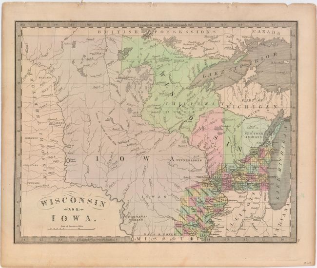
Subject: Upper Midwestern United States

Period: 1848 (published)

Publication: A New Universal Atlas…

Color: Hand Color

Size:
13.1 x 10.3 inches
33.3 x 26.2 cm
Download High Resolution Image
(or just click on image to launch the Zoom viewer)

According to Rumsey, this map comes from a rare 1848 reissue of Greenleaf’s 1842 Universal Atlas. By this time, the southern portion of Iowa Territory had become the state of Iowa, although there is no engraved northern border to indicate this fact and the area is essentially still one large territory. County development is confined along the Mississippi River and Lake Michigan. Outside of the developed areas, numerous Indian tribes are located and the river system is depicted in good detail.

References: Rumsey #2866.065.

Condition: A

Minor toning along sheet edges, else fine.

Estimate: $250 - $325

Sold for: $600

Closed on 11/19/2014

Archived