Catalog Archive
Auction 151, Lot 158

"[Lot of 2] A New Map of Virginia with Its Canals, Roads & Distances from Place to Place Along the Stage & Steam Boat Routes [and] A New Map of Maryland and Delaware with Their Canals, Roads & Distances", Tanner, Henry Schenck

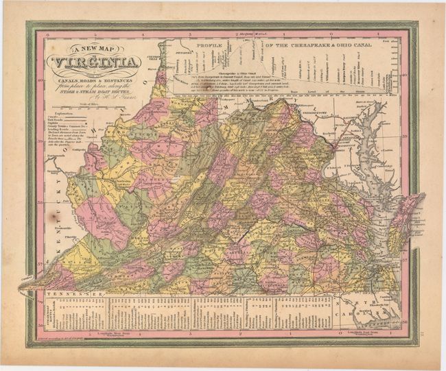
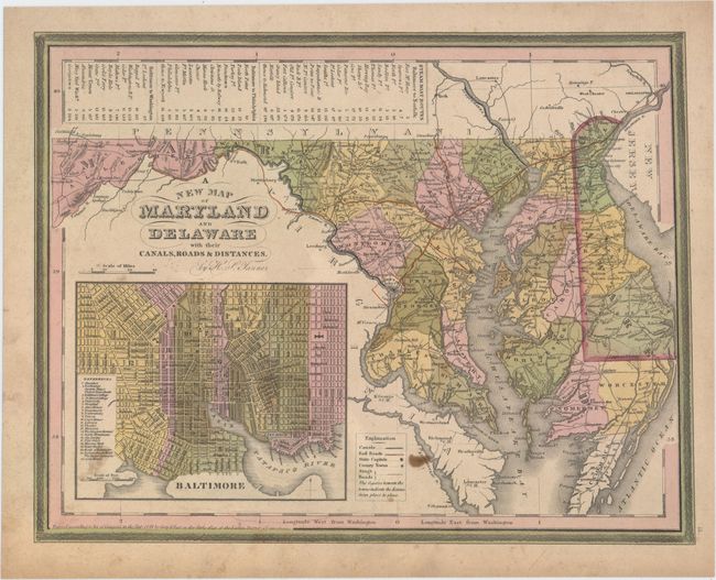
Subject: Mid-Atlantic United States

Period: 1844 (dated)

Publication: New Universal Atlas

Color: Hand Color

Size:
14.1 x 11.3 inches
35.8 x 28.7 cm
Download High Resolution Image
(or just click on image to launch the Zoom viewer)

A. A New Map of Virginia with Its Canals, Roads & Distances from Place to Place Along the Stage & Steam Boat Routes. An attractive map with nice detail of the counties, cities, roads and railroads. At top is a profile of the Chesapeake & Ohio Canal. A table at bottom lists Steam Boat Routes - Richmond to Norfolk, Richmond to Washington, Richmond to Baltimore, Wheeling to Pittsburgh, and Wheeling to Cincinnati.

B. A New Map of Maryland and Delaware with Their Canals, Roads & Distances. Fine map with good detail of the counties, cities, roads and railways. Table at top lists Steam Boat Routes - Baltimore to Norfolk, Baltimore to Philadelphia and Baltimore to Washington. A large inset depicts the city of Baltimore divided into wards with a numbered index to important buildings.

References:

Condition: B

Original color with minor soiling, a few small brown spots in the image, and light toning along edges of sheets.

Estimate: $300 - $375

Sold for: $160

Closed on 11/19/2014

Archived