Catalog Archive
Auction 151, Lot 142

"Charte von den Vereinigten Staaten von Nord-America nebst Louisiana...", Weimar Geographisches Institut

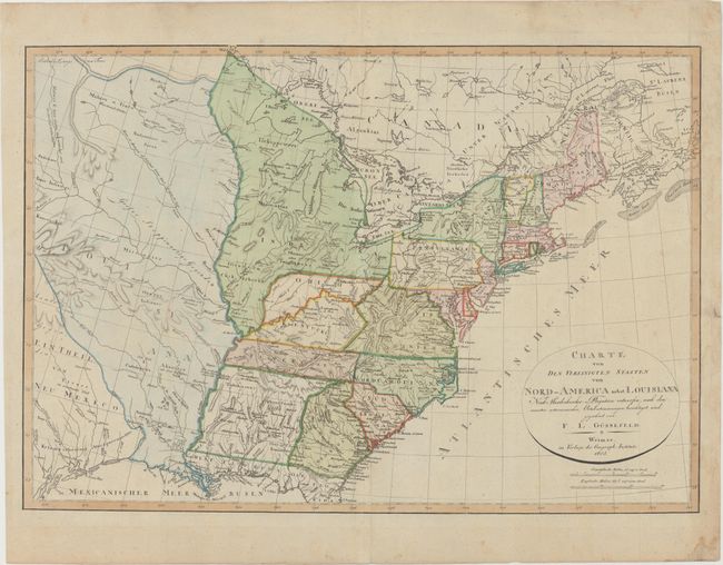
Subject: Eastern United States

Period: 1805 (dated)

Publication:

Color: Hand Color

Size:
26.9 x 18.6 inches
68.3 x 47.2 cm
Download High Resolution Image
(or just click on image to launch the Zoom viewer)

This uncommon map depicts the United States in the early part of the nineteenth century. There are some unusual configurations west of the Appalachians including an Indiana Territory that extends from Manitoba to New Madrid, Missouri as well as an oddly shaped Ohio. Tennessee extends too far to the east and an unnamed region occupies the space between Georgia and the Mississippi River. Louisiana is still shown as a French possession and Florida is divided between East and West. Numerous Indian tribes are named and located along with good detail of the river system.

References:

Condition: A

On watermarked paper with light creasing at right and minor soiling primarily confined to the blank margins.

Estimate: $700 - $900

Sold for: $450

Closed on 11/19/2014

Archived