Subject: Atlases
Period: 1885-1900 (circa)
Publication:
Color: Printed Color
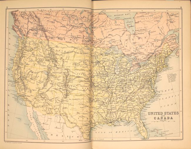
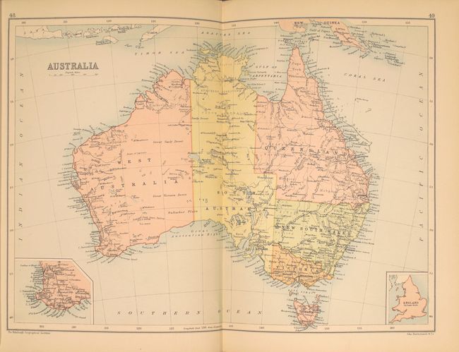
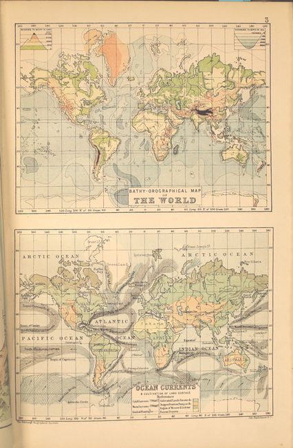
A. The Globe Hand Atlas A Series of Fifty-Four Maps, Illustrating Physical, Political, Commercial, and Classical Geography, by J.G. Bartholomew, F.R.G.S., circa 1900 (7.6 x 10.9"). This attractive little atlas contains 54 maps including double-page maps of the United States, Europe, Africa, Asia, Australia and the British Isles. Includes many other thematic charts and maps. Includes a 19-page index. Published by T. Nelson & Sons in New York, London and Edinburgh. Condition: Maps are in overall near fine condition. Covers show minor shelf wear and the front cover has been painted black along the edges of the board. (A)
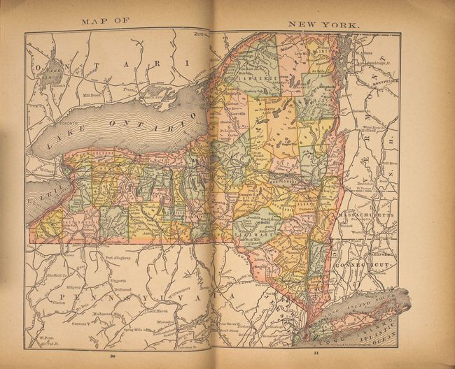
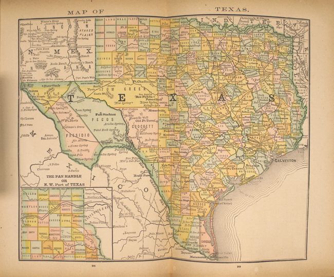
B. The New Family Atlas of the World, Containing New Colored Maps of Each State and Territory in the United States..., by F.B. Dickerson & Co, published 1885 (7.3 x 9.9"). Consists of 18 double-page and 37 single-page maps including double-page maps of the United States, New York, Pennsylvania, Virginia and Texas. Also includes several tables and charts. 136 pp. Condition: Light toning throughout, more pronounced along the sheet edges. A few pages are loose. Covers are chipped, stained and the front cover is warped due to water damage. (B)
References:
Condition:
See description above.