Catalog Archive
Auction 150, Lot 697
"Empire du Monomotapa et Etats Voisins Tire de M Delisle et Autres Auteurs", Bellin, Jacques Nicolas
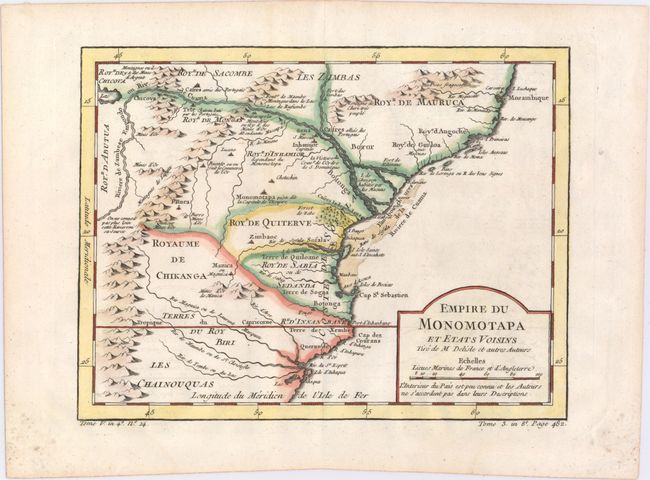
Subject: Southeastern Africa
Period: 1757 (circa)
Publication:
Color: Hand Color
Size:
10.4 x 7.9 inches
26.4 x 20.1 cm
Download High Resolution Image
(or just click on image to launch the Zoom viewer)
(or just click on image to launch the Zoom viewer)