Catalog Archive
Auction 150, Lot 487

"Mosellae Fluminis Tabula Specialis in qua Archiepiscopatus et Electoratus Trevirensis...", Homann, Johann Baptist

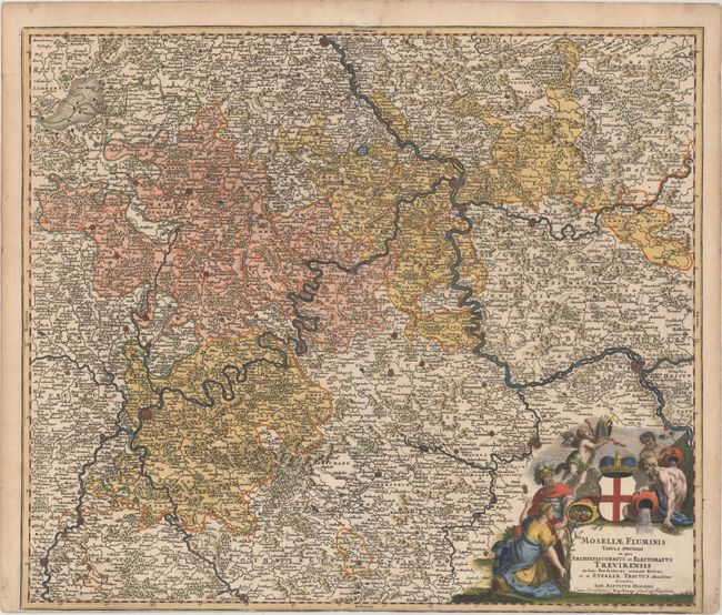
Subject: Western Germany

Period: 1716 (circa)

Publication: Grosser Atlas

Color: Hand Color

Size:
22.5 x 19.3 inches
57.2 x 49 cm
Download High Resolution Image
(or just click on image to launch the Zoom viewer)

This detailed map of the western part of Rheinland Pfalz shows the area along the Mosel River, the archbishopric of Trier, and the Rhine River from Bonn to Mainz in the south. Many place names, mountains, forests, and rivers are shown on the map. A large decorative allegoric title cartouche fills the lower right corner, featuring river gods to represent the rivers in the region.

References:

Condition: B+

On watermarked paper that has been trimmed to the neatline at bottom, as issued. There are a few short edge tears and tiny worm holes in the top blank margin.

Estimate: $140 - $170

Sold for: $100

Closed on 9/17/2014

Archived