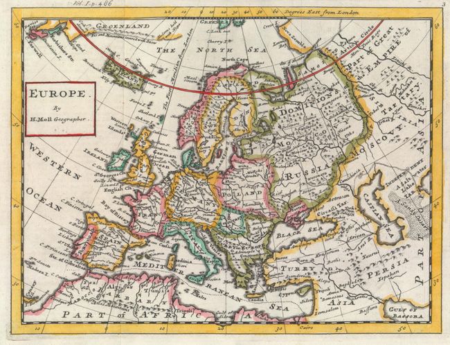
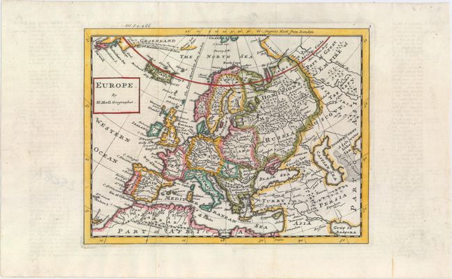
Subject: Europe
Period: 1739 (circa)
Publication: Salmon's Modern History
Color: Hand Color
Size:
10.3 x 7.8 inches
26.2 x 19.8 cm
This lovely map of Europe is done in Moll's singular engraving style. The map extends to show parts of Greenland (where Hudsons hold with Hope and icy mountains are noted), northern Africa, and the Middle East, stretching far enough east to include the northern part of the Persian Gulf (here called Gulf of Bassora). It depicts some topographical detail and names several major cities. Nova Zembla appears with only one clearly defined coast.
References: McCorkle (18th C. Geography Books) #347-16.
Condition: A
Issued folding, now flat, with good margins and faint text offsetting in the blank margins.