Catalog Archive
Auction 150, Lot 366

"Carte du Perou et Bresil Sepl. de Tierra-Firme de Guayana, et de la Riviere des Amazones...", D'Anville/Santini

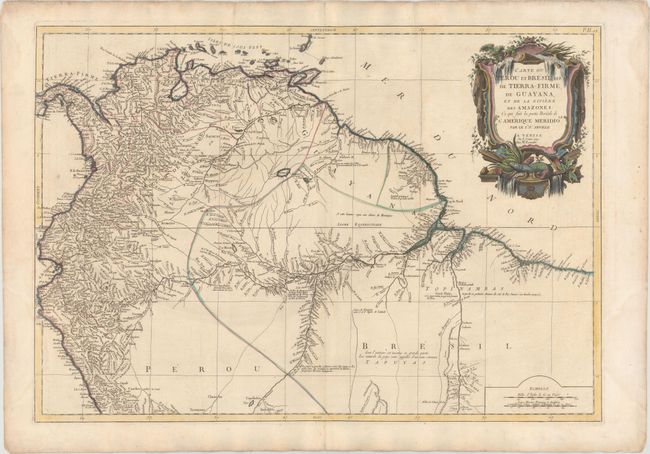
Subject: Northwestern South America

Period: 1779 (dated)

Publication: Atlas Universel Dresse sur les Meilleures Cartes Modernes

Color: Hand Color

Size:
26.3 x 18.3 inches
66.8 x 46.5 cm
Download High Resolution Image
(or just click on image to launch the Zoom viewer)

This handsome map of the northern section of South America is based on D'Anville's important 3-sheet map of the continent. It covers the continent north of the equator and provides a particularly detailed view of the rivers. Large regions are completely blank with notations regarding the various Indian tribes. This edition was issued by Remondini.

References:

Condition: B+

Watermarked paper with light soiling, a few minor creases, and faint damp stains in blank margins, just entering map less than 1" at bottom left.

Estimate: $275 - $350

Sold for: $140

Closed on 9/17/2014

Archived