Subject: Western North Carolina
Period: 1882 (published)
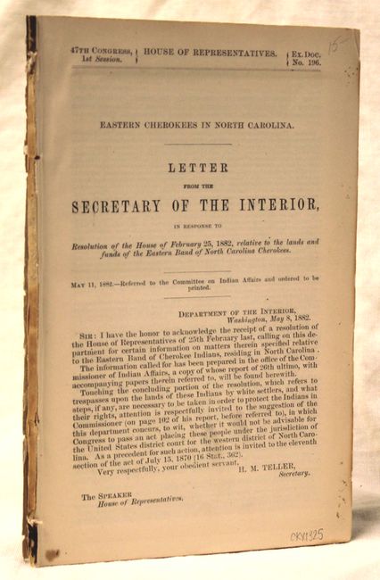
Publication: HR Doc. No. 196, 47th Cong., 1st Sess.
Color: Printed Color
Size:
5.9 x 9 inches
15 x 22.9 cm
This uncommon Department of the Interior report of Cherokee lands in North Carolina includes three folding maps.
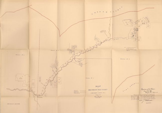
Map of Districts Nos 1.5.6 &c 7. in Cherokee County, N.C (26.5 x 18"). This map shows the region between Graham and Clay counties. Signed in the plate by J.A. Williamson, Commissioner.
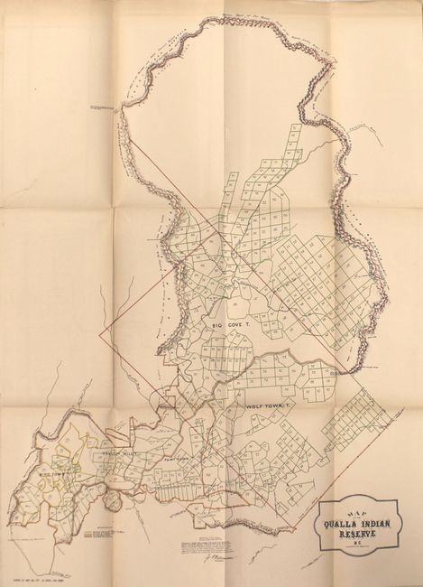
Map of the Qualla Indian Reserve N.C (16.0 x 23.0"). This detailed map shows hundreds of individual plots occupied by the Big Cove, Wolf Town, Paint Town, Yellow Hill, and Bird Town Tribes. This reservation in western North Carolina is still in existence today and has a population of over 8,000.
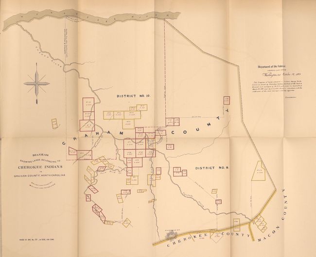
Diagram Showing Lands Belonging to Cherokee Indians in Graham County, North Carolina (14.5 x 18.5"). Shows the Cherokee land surveyed under the contract of 1875 and 1878, colored in yellow and red respectively.
The 68 pp. disbound report goes into detail on the land claims in the three areas the maps cover.
References:
Condition: B+
The maps are clean with light toning along a few folds, a few binding tears well away from the map image, and just a hint of offsetting. The text is very good with the last two maps separated from the report.