Subject: Long Island, New York
Period: 1886 (dated)
Publication:
Color: Printed Color
Size:
63.9 x 30.2 inches
162.3 x 76.7 cm
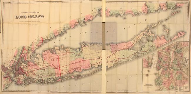
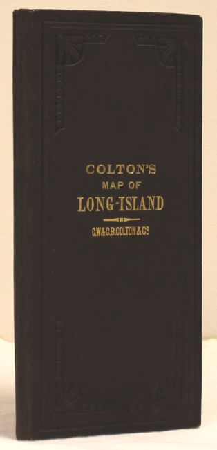
This monumental folding map, printed on thin bank-note style paper, depicts the entirety of Long Island on a scale of 2 miles per inch. It covers the region from Newark and Jersey City, New Jersey east to Montauk and Gardiner's Island, New York. Details include cities, towns, villages, post offices, parks and cemeteries. A large inset at lower right shows New York City including street-level detail of lower Manhattan, Brooklyn and Jersey City with numerous ferry boat routes depicted. Of particular importance is the expanding railroad network which includes lines to Port Jefferson, Greenport and Sag Harbor in Suffolk County. Operated by the Long Island Rail Road and Brooklyn & Montauk Rail Road, these lines effectively opened the entire island to suburbanization and population growth. This migration was compounded by the opening of the Brooklyn Bridge in 1883. Folds into brown cloth boards with gilt title on front cover.
References:
Condition: A+
The map and cover are near mint with no visible flaws.