Subject: Atlases
Period: 1817 (dated)
Publication:
Color: Hand Color
Size:
9.8 x 11.5 inches
24.9 x 29.2 cm
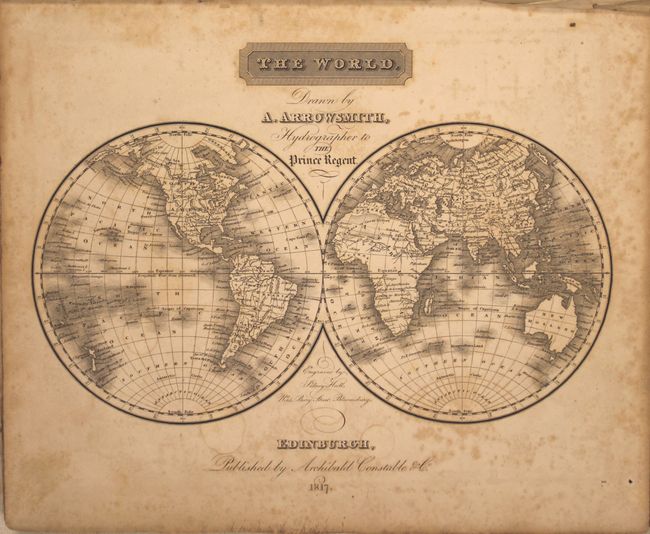
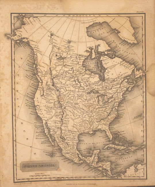
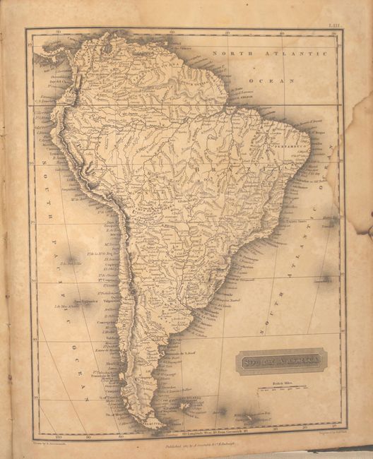
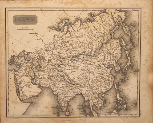
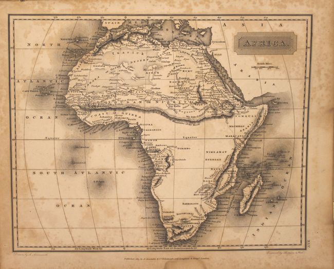
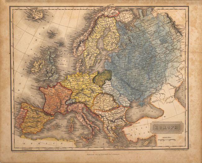
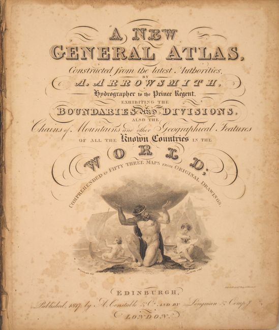
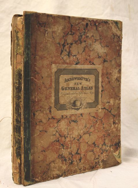
This complete atlas features 53 copperplate maps, each drawn by Arrowsmith the younger and engraved by Sidney Hall, with a few engraved by Thomson in collaboration with Hall. The maps include two world, 29 related to Europe and Scandinavia, 16 on Asia, Africa, and Oceania, and 6 related to the Americas. The United States map shows Georgia extending from the coast to the Mississippi River. The area west of the Mississippi is blank and labeled Louisiana. Some of the maps have a modest amount of original color, otherwise they are uncolored. Title page has Atlas holding the globe above two putti, one sailing a dingy, the other engaged in cartographic studies with a globe, map and dividers. Hardbound with marbled paper and original paper label, engraved title page, Index, maps with many tissue guards still in place. In front of the title page are two pages promoting the new "Edinburgh Gazetteer" accompanied by an atlas by A. Arrowsmith.
References:
Condition: C+
The maps are sound, but have overall foxing. Front and back covers are detached with the first few end papers and the advertisement loose.