Subject: Colonial United States & Canada
Period: 1738 (published)
Publication:
Color: Black & White
Size:
4 x 6.3 inches
10.2 x 16 cm
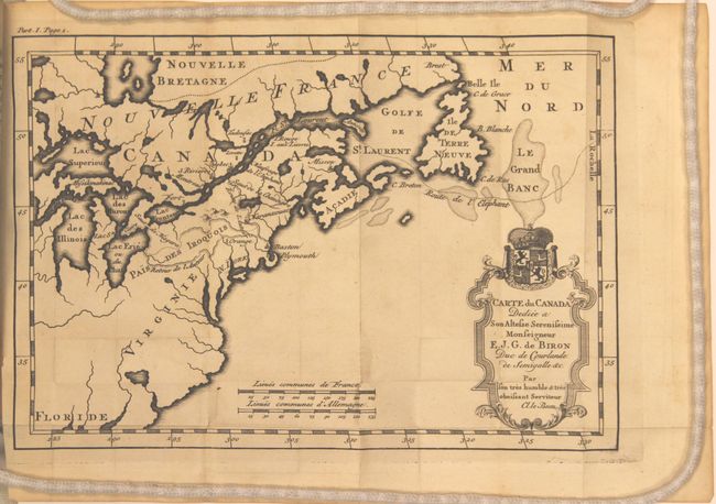
This charming little map of Canada and the Northeast is bound into the first volume of Claude Le Beau's Avantures du Sr. C. le Beau…. The map covers the region from Newfoundland west to Lake Superior and south to the Carolinas. Cartographically, the Great Lakes are fully enclosed but the shorelines are quite distorted. Very little inland information is presented, especially south of the Great Lakes, but Le Beau's tracks are shown with a dotted line in the present-day region of New York.
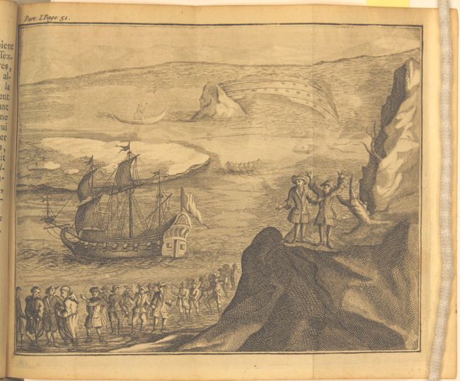
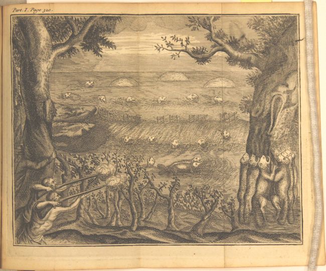
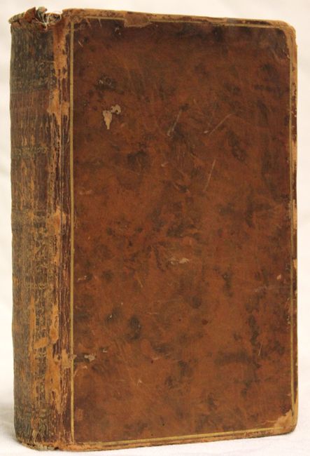
The map is accompanied by the first volume (of two) of Le Beau's travels in the area, which includes narratives on the customs of the Iroquois as well as encounters with beavers. Contents include title page, dedication, preface, folding map, two illustrative plates, 370 pp. of text, and a table of contents. Hardbound in full calf with gilt highlights on covers and spine.
References: Kershaw #339; McCorkle #738.1; Howes #L167.
Condition: A
The map is near fine with faint toning along the edges of the sheet. Contents are clean and tight, the covers show some light wear, and the spine has cracking and minor chips.