Subject: Atlases
Period: 1694 (published)
Publication:
Color: Hand Color
Size:
6.8 x 8.5 inches
17.3 x 21.6 cm
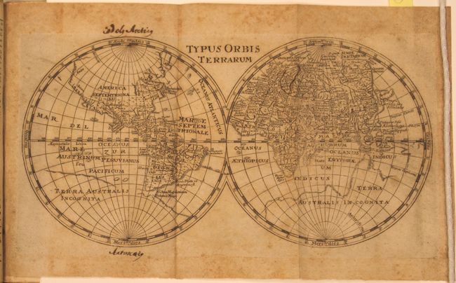
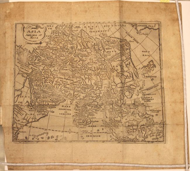
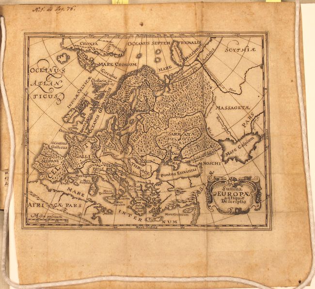
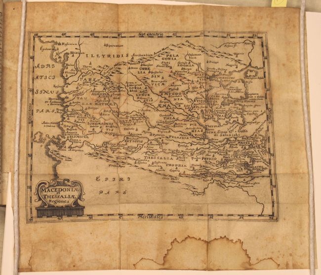
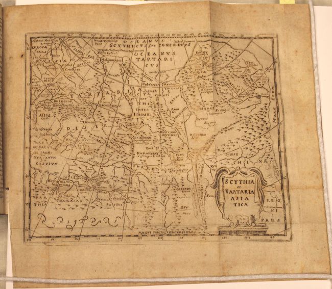
Cluver’s Introductio is considered the standard for 17th century geographical text books, as he is the father of modern historical geography. This edition of Cluver's geography was published in 1694 by the heirs of Johann Buno in Wolfenbuttel, Germany. There are 37 copper-plate engravings including the world map, maps of the continents (America, Africa, Asia, and Europe), and many regional European maps. A few of the European maps have outline color.
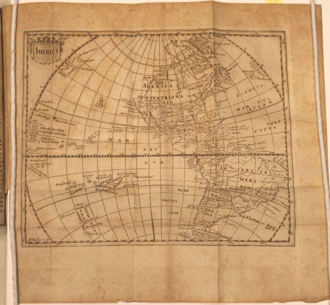
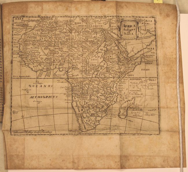
The map of America (9.8 x 8") was derived from the Nicolas Visscher map of 1658, with a Briggs type island of California and no Great Lakes in North America. The interior rivers of South America are all connected to a large, spurious lake labeled Lago de los Xarzyes. A depiction of the discoveries of Maarten Gerritsz de Vries' voyage appears in the waters north of Japan, and Abel Janszoon Tasman's discoveries are shown in New Zealand. The map of Africa, Africa, Antiqua, et Nova (10.2 x 8.4"), is an interesting continental map that is very similar to Sanson's Africa Vetus. Well engraved with few place names in the south and only the major river systems and mountains shown. The Nile originates from two large lakes well south of the Equator in the Ptolemaic style.
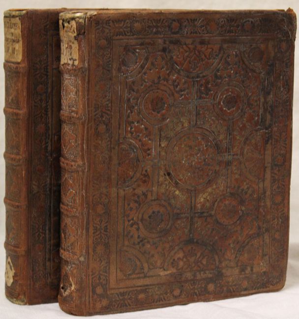
The Introductionis was published numerous times between 1624 and 1729 with each successive edition becoming more elaborate and the later editions including finely engraved maps. 608 pp. of Latin text. Octavo, original full calf binding with ornately embossed covers and raised bands on spine. All edges gilt (a.e.g.).
References: cf. Shirley (BL Atlases) T.CLUV-5a ; Burden #732; McLaughlin #25.
Condition: B
The maps have light to moderate foxing and toning throughout. A few of the regional maps have damp stains in the lower blank margin and a few others have manuscript notations in the blank margins (including the world map). Text has scattered foxing but the contents are tight. Covers show average wear with one small chip on the front cover.