Catalog Archive
Auction 148, Lot 702

"Carte de l'Isle de Ceylan Dressee sur les Observations de Mrs. de l'Academie Royale des Sciences", Delisle/Covens & Mortier
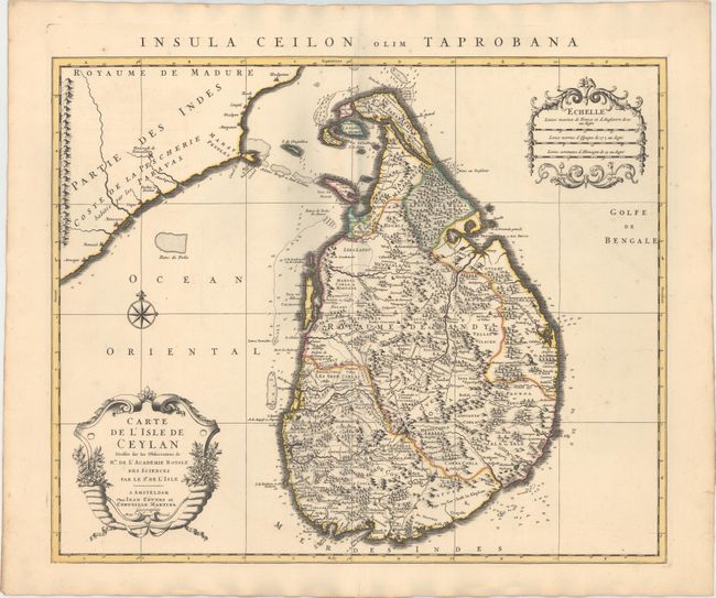
Subject: Sri Lanka

Period: 1730 (circa)

Publication:

Color: Hand Color

Size:
22.6 x 18.5 inches
57.4 x 47 cm
Download High Resolution Image
(or just click on image to launch the Zoom viewer)

This is one of the largest maps to focus on the island of Ceylon - present-day Sri Lanka. The various kingdoms and regions are delineated with the Jaffna kingdom in the north, the Kingdom of Kandy occupying the central section, and the Dutch possessions shown in the southeast. Numerous Dutch forts, an extensive road network, and several salt works are shown. Two cartouches and a compass rose adorn the map. The Latin title appears at top: "Insula Ceilon olim Taprobana."

References:

Condition: A

A fine impression with original color and a couple of insignificant spots. There are some shadows that appear in the image that are caused by our scanner, and do not appear on the map itself.

Estimate: $400 - $500

Sold for: $325

Closed on 2/19/2014

Archived