Catalog Archive
Auction 148, Lot 689

"Carte de la Cote Occidentale de l'Isle Sumatra, Depuis la Pointe d'Indrapour Jusques au Detroit de la Sonde", Apres de Mannevillette, Jean B. N. D.
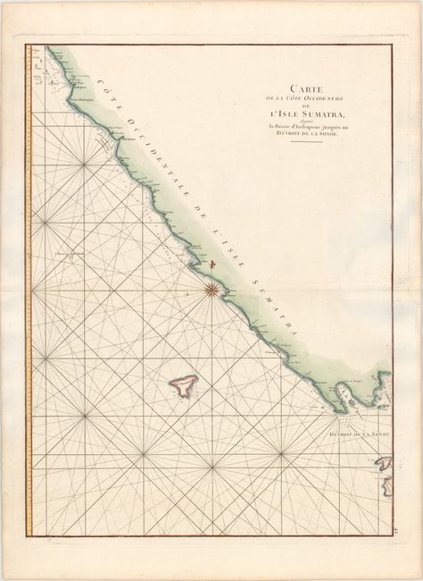
Subject: Sumatra

Period: 1775 (circa)

Publication: Neptune Orientale

Color: Hand Color

Size:
19.1 x 25.6 inches
48.5 x 65 cm
Download High Resolution Image
(or just click on image to launch the Zoom viewer)

This sea chart depicts the southern portion of the western coastline of Sumatra, from just north of Mukomuko to Lampung Bay and the Sunda Strait. The islands of Enggano (Isla Trompeuse) and Krakatoa (I. Du Prince), as well as the western tip of Java are noted. Numerous soundings, rocks, shoals and safe anchorages are shown.

References: Shirley (BL Atlases) M.APR-1c.

Condition: B+

A fine impression on watermarked paper with a faint damp stain along centerfold at right and a few tiny spots. There are a few shadows caused by our scanner that appear in the image, but are not on the map itself.

Estimate: $140 - $170

Sold for: $100

Closed on 2/19/2014

Archived