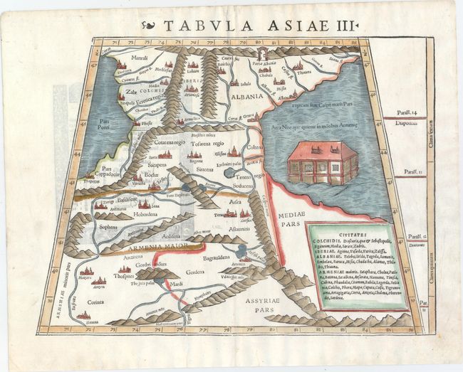
Subject: Caucasus
Period: 1541 (circa)
Publication: Geographia Universalis…
Color: Hand Color
Size:
13.3 x 10.5 inches
33.8 x 26.7 cm
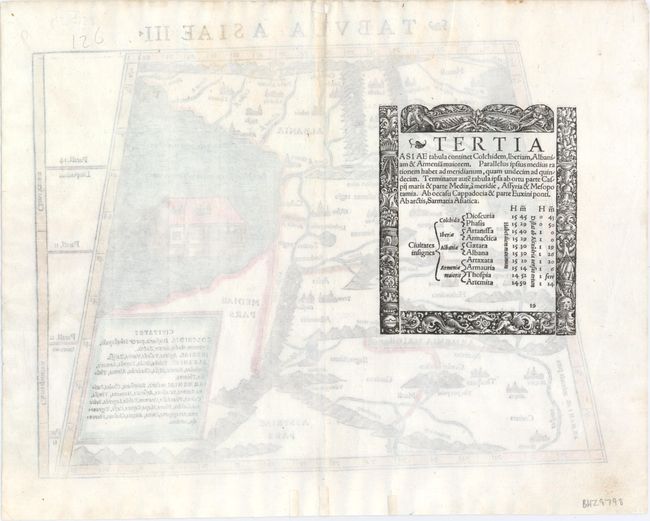
This woodblock, Ptolemaic map covers the region between the Black and Caspian Seas. The map is divided into three regions: Colchidis, Albania and Armenia. A large gate (Portae Albaniae) is shown in the mountains at the top of the map. This reflects the legend of Alexander the Great, who is said to have discovered the evil hordes of Gog and Magog in this region. Alexander, calling upon the power of God, moved the mountains together and built a mighty wall spanning the entire Caucasus range, closing off the civilized south from the forces of darkness. Noah's Ark is shown in the Caspian Sea. Woodblock illustration with the title Tertia Asiae on verso.
References: Mickwitz & Miekkavaara #210-19.
Condition: A
A clean, bright example with light show-through of text on verso and three archivally repaired tears confined to bottom blank margin.