Catalog Archive
Auction 148, Lot 621

"T' Land Kanaan Benevens Gilead Verdeelt Onder de XII Stammen Israels...", Bachiene, Willem Albert
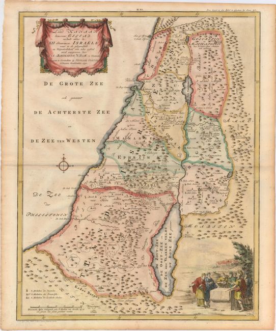
Subject: Holy Land

Period: 1750 (dated)

Publication:

Color: Hand Color

Size:
15.3 x 19.5 inches
38.9 x 49.5 cm
Download High Resolution Image
(or just click on image to launch the Zoom viewer)

This attractive map from a large Dutch Bible shows the land of Israel divided into the 12 Tribes with all the places, rivers, mountains, and seas mentioned in the Holy Scriptures. It covers all of Palestine on both sides of the Jordan River and the Mediterranean coastline from Tzor (Sur) to the "River of Egypt." At bottom is a lovely pastoral scene with the Elders of Israel encircling a map and dividing the land among the Tribes. Engraved by Jan van Jagen.

References: Laor #70.

Condition: B+

Attractive color on watermarked paper with minor offsetting and a hint of toning along centerfold and sheet edges.

Estimate: $160 - $190

Sold for: $150

Closed on 2/19/2014

Archived