Catalog Archive
Auction 148, Lot 533
"Carte de la Hongrie, de la Transilvanie et des Pays Adjacents Appartenants a la Maison d'Autriche", Chanlaire & Mentelle
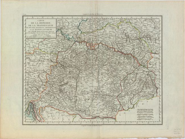
Subject: Hungary, Romania
Period: 1797 (circa)
Publication:
Color: Hand Color
Size:
16.7 x 13 inches
42.4 x 33 cm
Download High Resolution Image
(or just click on image to launch the Zoom viewer)
(or just click on image to launch the Zoom viewer)