Catalog Archive
Auction 148, Lot 517

"[On 2 sheets] Le Gouvernement General de Languedoc Divise en Trois Lieutenances Generales Scavoir la Haut Languedoc, la Bas Languedoc et les Sevennes…", Delisle/Covens & Mortier

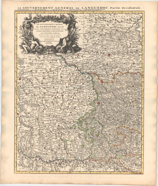
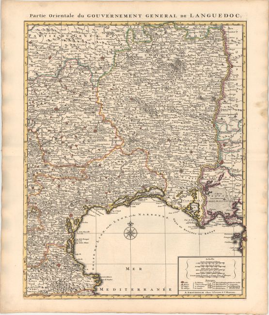
Subject: Southern France

Period: 1730 (circa)

Publication:

Color: Hand Color

Size:
18.1 x 23.3 inches
46 x 59.2 cm
Download High Resolution Image
(or just click on image to launch the Zoom viewer)

Handsome two-sheet map of the Midi-Pyrenees and Languedoc Roussillon regions extending from Pau in the west to Avignon in the east, and from Martel and St. Flour in the north to Perpignan in the south. The map is densely engraved with information, with particular emphasis on the fortified cities, which are colored in red. The distance scale at bottom right incorporates a legend, identifying towns of various sizes, castles, and ports. The large title cartouche features putti and a river god and goddess. The size given is for each sheet, which varies slightly. If joined, the map would measure 35.3 x 23.3".

References:

Condition: A

Dark impressions with original color on watermarked paper, minor offsetting, and marginal soiling.

Estimate: $200 - $250

Sold for: $100

Closed on 2/19/2014

Archived