Catalog Archive
Auction 148, Lot 489

"Scandinavia, or Sweden, Denmark & Norway", Thomson, John

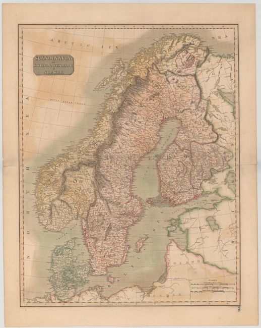
Subject: Scandinavia

Period: 1814 (circa)

Publication: New General Atlas

Color: Hand Color

Size:
18.6 x 23.7 inches
47.2 x 60.2 cm
Download High Resolution Image
(or just click on image to launch the Zoom viewer)

This detailed early nineteenth century atlas map of Scandinavia shows towns, political divisions, rivers, and topography. Decorated by a block-style title cartouche and three distance scales. Engraved by J. and G. Menzies.

References:

Condition: B

Original color on sturdy watermarked paper with color offsetting and centerfold separations at left and right that each enter approximately 0.5" past the neatline.

Estimate: $100 - $140

Unsold

Closed on 2/19/2014

Archived