Catalog Archive
Auction 148, Lot 476

"Cantyra Chersonesus, Cantyr a Demie-Yland", Blaeu, Johannes
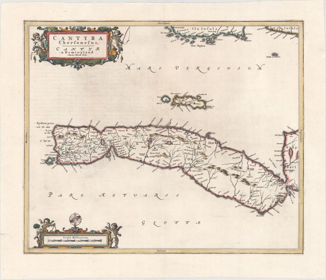
Subject: Scotland

Period: 1654 (circa)

Publication: Toonneel des Aerdrycks oft Nieuwe Atlas…

Color: Hand Color

Size:
19.8 x 16.4 inches
50.3 x 41.7 cm
Download High Resolution Image
(or just click on image to launch the Zoom viewer)

This finely engraved map depicts the peninsula of Kintyre within Argyll and Bute, with north oriented to the right. The map, based on the work of Timothy Pont, famous surveyor of Scotland in the late sixteenth century, includes great detail of the rivers, villages and castles. An elaborate title cartouche and scale of miles cartouche decorate the map, both illustrated with putti. Dutch text on verso, published between 1654-62.

References: Van der Krogt (Vol. II) #5882:2.

Condition: A

A very bright, clean example on watermarked paper.

Estimate: $240 - $300

Unsold

Closed on 2/19/2014

Archived