Subject: England & Wales
Period: 1618 (published)
Publication: Tabularum Geographicarum Contractarum…
Color: Black & White
Size:
5.3 x 3.8 inches
13.5 x 9.7 cm
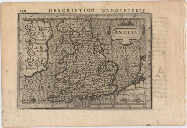
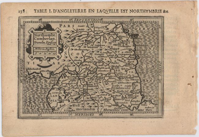
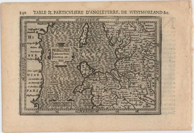
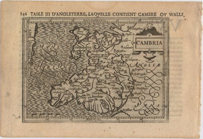
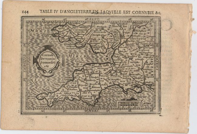
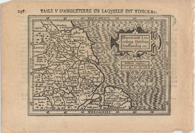
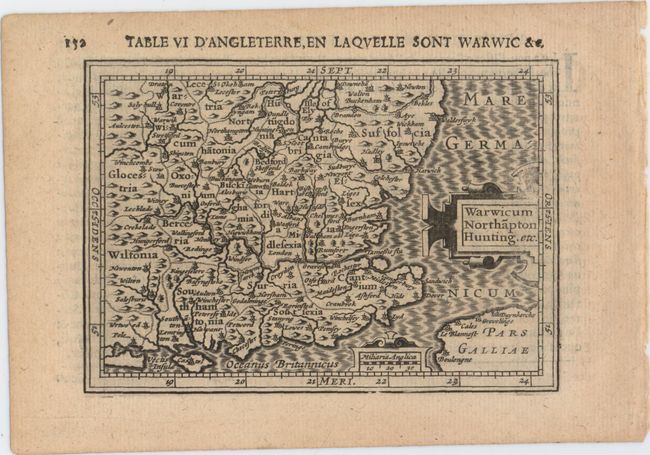
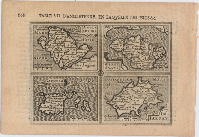
This matched set of 8 miniature maps comprise the entire section on England and Wales from Bertius' geographical treatise. Each map is beautifully engraved with a strapwork title cartouche and moire-patterned seas. While the majority of the maps for Bertius' geographical treatise were engraved by Jodocus Hondius Jr. after Mercator, the individual maps of England, Scotland and Ireland were engraved by Salomon Rogiers after John Speed. Rogiers' imprint appears on the map of Anglia. French text on verso. Size varies slightly. This lot includes:
A. Anglia.
B. Northumbr. Cumberlan. Dunelm. Episcop..
C. Westmorlad: Lancastria Cestria etc..
D. Cambria.
E. Cornub. Devonia Somserset etc..
F. Eboracum Lincolnia Derbia Staffordia etc..
G. Warwicum Northapton Hunting. etc..
H. Anglesey Ins. [on sheet with] Wight ol. Vectis [and] Ins Garnesay [and] Ins. Iarsay.
References: Shirley (BI to 1650) #349; King (2nd ed.) pp. 96-99; Van der Krogt (Vol. III) #5100-5114:342 & 5500.
Condition: A
Dark impressions with a faint damp stain in top blank margin. Anglia and Cambria each have one professionally repaired tear in right blank margin.