Subject: London & Liverpool, England
Period: 1841-49 (circa)
Publication:
Color:
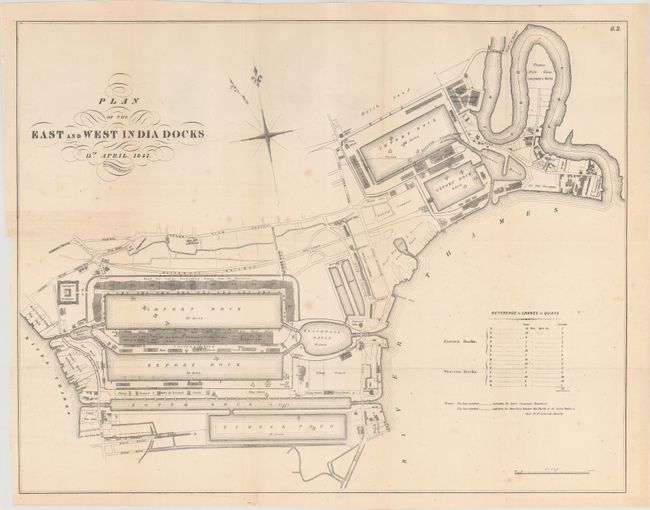
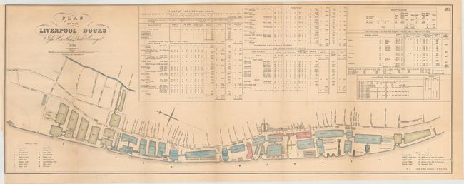
These seven maps show the development of the London and Liverpool docks and were published for the Senate during the 2nd Session of the 30th Congress. The largest map, Plan of the East and West India Docks, shows very good detail of the Eastern and Western docks along the Thames River with several notations along the river's edge displaying the operating companies and individual land holders. Also included is Plan of the Liverpool Docks, which shows good detail of the docks in current operation, those under construction, and proposed docks along the Mersey River. A table above the map is filled with information about water, quay space and dock dimensions for each individual dock.
A. Plan of the East and West India Docks, by C.B. Graham, dated 1841, black and white (21.4 x 16.5"). Condition: Issued folding with minor foxing in the image. (B+)
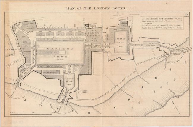
B. Plan of the London Docks, circa 1849, black and white (9.0 x 5.3"). Condition: Light toning along the left neatline and faint offsetting. (B)
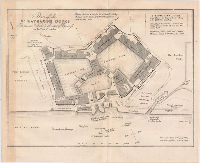
C. Plan of the St. Katharine Docks the Nearest Docks to the Seat of Business, circa 1849, black and white (8.9 x 6.6"). Condition: Light toning along the left neatline and faint offsetting. (B)
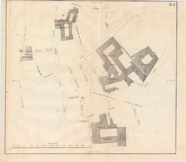
D. [Map of Warehouses Near Blackwall Railway], circa 1849, black and white (8.8 x 7.9"). Condition: Trimmed to the neatline at top and thus missing the title placed above the neatline with a few minor spots in the image. (B)
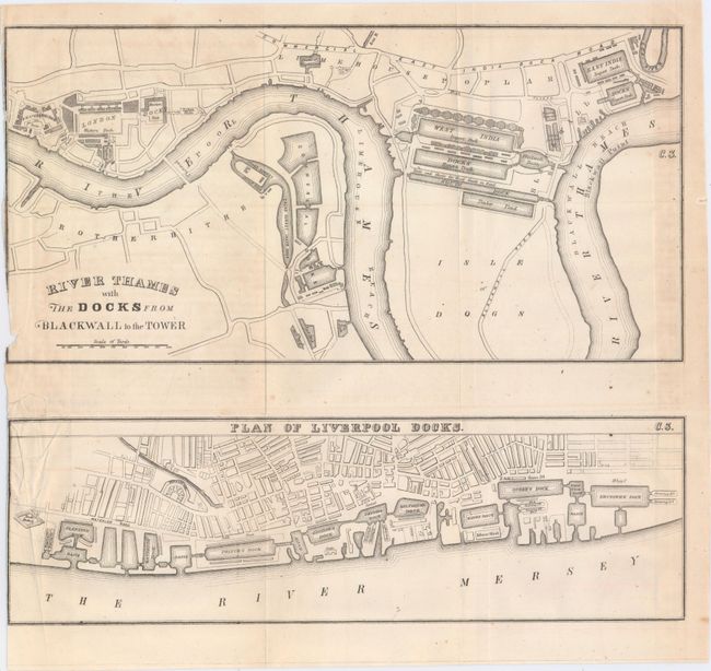
E. River Thames with the Docks from Blackwall to the Tower [on sheet with] Plan of Liverpool Docks, circa 1849, black and white (11.9 x 10.5"). Condition: Issued folding and trimmed to the neatline at left with a small edge tear confined to the blank margin closed on verso with archival tape. (B+)
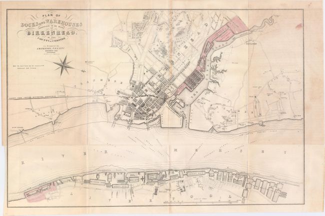
F. Plan of Docks and Warehouses Proposed to Be Made at Birkenhead, in the County of Chester, by C.B. Graham, dated 1844, hand color (16.7 x 11.0"). Condition: Issued folding with faint offsetting and toning along one fold. (B+)
G. Plan of the Liverpool Docks, by C.B. Graham, dated 1846, hand color (29.8 x 11.3"). Condition: Issued folding with light toning and faint offsetting. (B+)
References:
Condition:
See descriptions above.