Catalog Archive
Auction 148, Lot 452
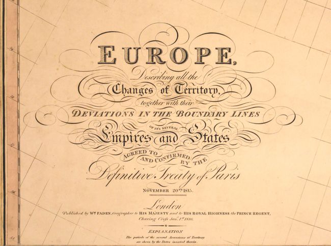
"Europe, Describing all the Changes of Territory, Together with Their Deviations in the Boundary Lines of its Several Empires and States Agreed to and Confirmed by the Definitive Treaty of Paris", Faden, William
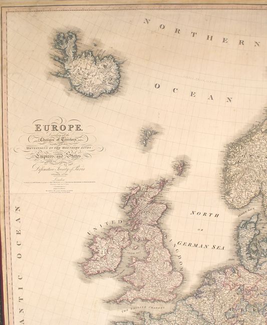
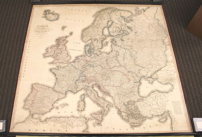
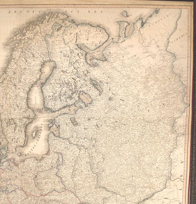
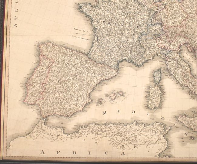
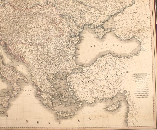
Subject: Europe
Period: 1815 (dated)
Publication:
Color: Hand Color
Size:
61.7 x 59.3 inches
156.7 x 150.6 cm
Download High Resolution Image
(or just click on image to launch the Zoom viewer)
(or just click on image to launch the Zoom viewer)