Catalog Archive
Auction 148, Lot 437

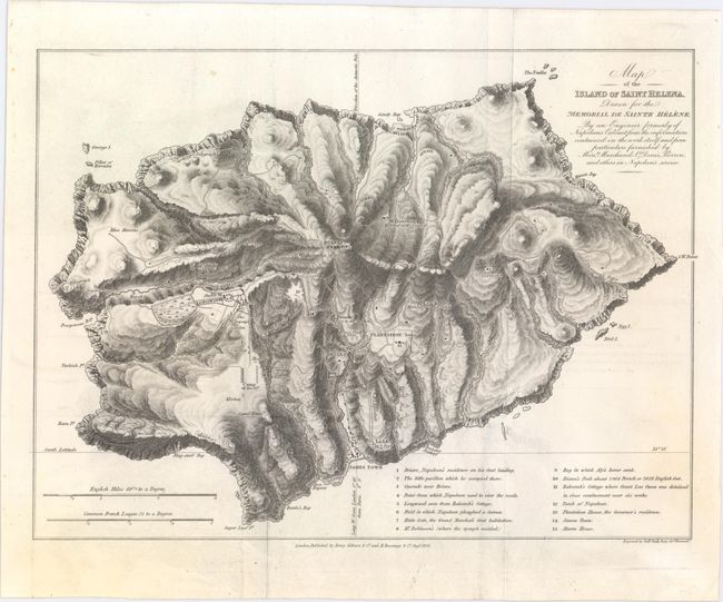
"Map of the Island of Saint Helena, Drawn for the Memorial de Sainte Helene, by an Engineer Formerly of Napoleon's Cabinet...", Hall, Sidney

Subject: St. Helena

Period: 1823 (dated)

Publication:

Color: Black & White

Size:
11.9 x 8.8 inches
30.2 x 22.4 cm
Download High Resolution Image
(or just click on image to launch the Zoom viewer)

This excellent map of St. Helena provides a very detailed glimpse into the topography of the island. Several locations related to the British military presence in the area are identified, as are the names and locations of many residents. A key at bottom notes fifteen other sites of interest, including several relating to the island's most significant resident, Napoleon, such as his residence at the start of his exile and his tomb. North is oriented to the bottom of the map. Published by Henry Colburn & Co. and M. Bossange & Co. in August of 1823.

References:

Condition: A

Issued folding on sturdy paper, now pressed flat, with minor offsetting.

Estimate: $180 - $220

Sold for: $90

Closed on 2/19/2014

Archived