Catalog Archive
Auction 148, Lot 388
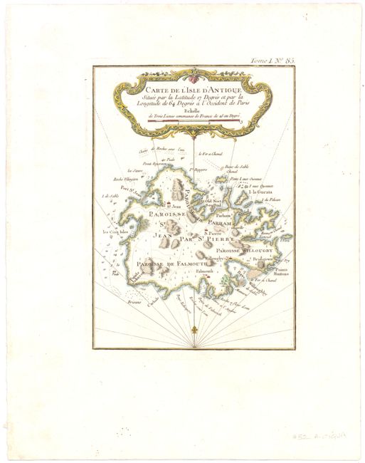
"Carte de l'Isle d'Antigue Situee par la Latitude 17 Degres et par la Longitude de 64 Degres a l'Occident de Paris", Bellin, Jacques Nicolas
Subject: Antigua
Period: 1764 (published)
Publication: Petit Atlas Maritime
Color: Hand Color
Size:
5 x 8 inches
12.7 x 20.3 cm
Download High Resolution Image
(or just click on image to launch the Zoom viewer)
(or just click on image to launch the Zoom viewer)