Catalog Archive
Auction 148, Lot 360

"Carte des Isles de l'Amerique et Deplusieurs Pays de Terre Ferme...", Anville, Jean Baptiste Bourguignon d'

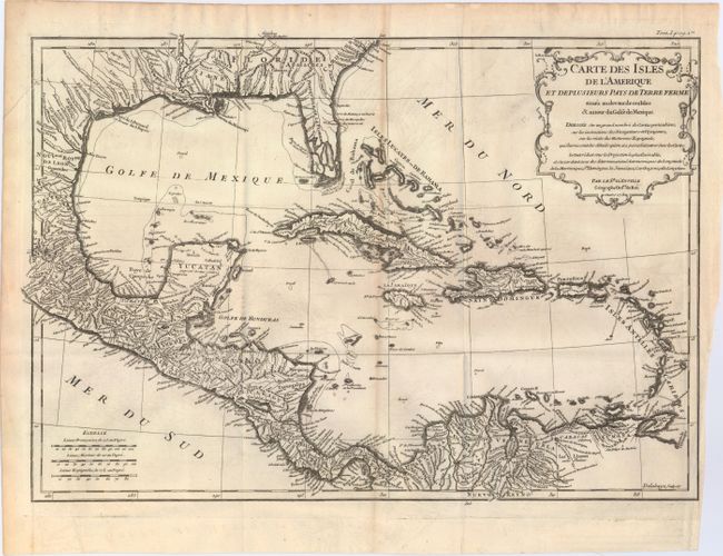
Subject: Gulf of Mexico & Caribbean

Period: 1731 (dated)

Publication:

Color: Black & White

Size:
17.3 x 12 inches
43.9 x 30.5 cm
Download High Resolution Image
(or just click on image to launch the Zoom viewer)

This detailed map covers the southern U.S., Central America, the West Indies, and northern South America. The map is dense with town names, waterways, and mountains. Florida features prominently here, stretching west just past Mobile Bay to Louisiane and north to Caroline, with its southern portion broken into an archipelago. A decorative title cartouche appears in the top right corner. Engraved by Delahaye.

References:

Condition: B+

Issued folding on watermarked paper with a binding tear at right that just enters the neatline that has been closed on verso with archival tape, a line of minor toning down the map's center, and faint offsetting.

Estimate: $200 - $240

Sold for: $125

Closed on 2/19/2014

Archived