Catalog Archive
Auction 148, Lot 270

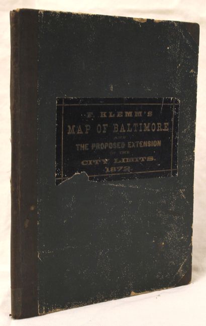
"F. Klemm's Map of Baltimore and the Proposed Extension of the City Limits, Compiled from Actual Surveys…",

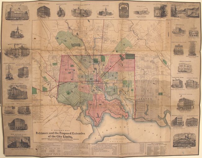
Subject: Baltimore, Maryland

Period: 1872 (dated)

Publication:

Color: Hand Color

Size:
37.1 x 29 inches
94.2 x 73.7 cm
Download High Resolution Image
(or just click on image to launch the Zoom viewer)

This large folding map depicts the city of Baltimore with its proposed extension. The map delineates 20 wards and is surrounded by 29 vignettes of prominent businesses and landmarks in the city. Text along the bottom of the map describes the city's population, property values, and a listing of fire alarm stations. Lithographed by A. Hoen & Co. in Baltimore, and folds into dark green cloth covers with dark blue title label on front cover (7.9 x 10.5").

References:

Condition: B

Issued folding with light toning and staining. Mounted on linen to reinforce and repair a few fold separations. Covers show typical wear and the back cover is partially separated.

Estimate: $300 - $375

Sold for: $800

Closed on 2/19/2014

Archived