Subject: Central United States
Period: 1907 (dated)
Publication:
Color: Printed Color
Size:
23.5 x 17.8 inches
59.7 x 45.2 cm
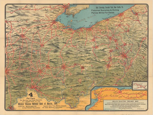
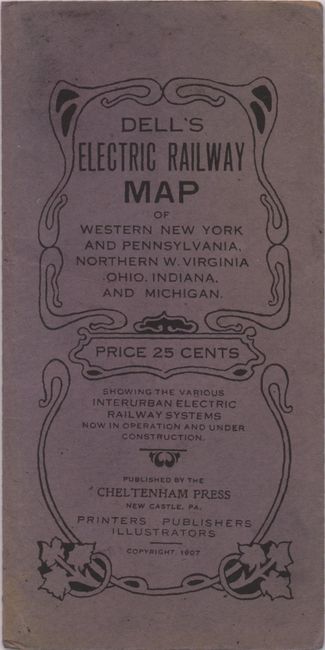
This rare and colorful pocket map of the Midwest focuses on the rapidly expanding electric railway system of the early 1900s. The map covers the region from Erie and Pittsburgh west to Detroit, South Bend and Louisville and shows both existing and proposed railway lines. An inset shows the network in western New York from Syracuse to Niagara Falls. At bottom is an advertisement for the Western Reserve National Bank of Warren, Ohio indicating this was a promotional giveaway. Folds into blue paper wrappers (3.3 x 6.6").
References:
Condition: A
The map is clean and bright with the fold intersections reinforced on verso with archival tape. Map is no longer glued to paper wrappers, which are slightly worn and faded.