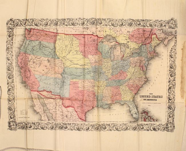
Subject: United States
Period: 1855 (dated)
Publication:
Color: Hand Color
Size:
26.5 x 17.5 inches
67.3 x 44.5 cm
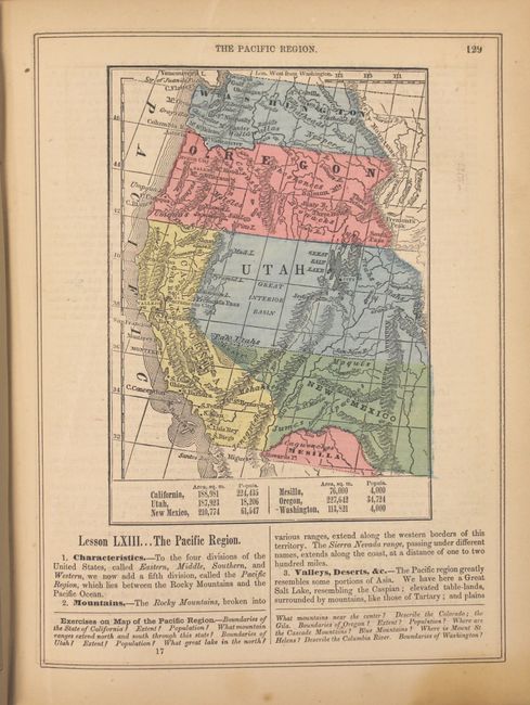
This great map features numerous early western territorial boundaries. Washington and Oregon Territories extend to the huge Nebraska Territory at the Continental Divide. Nebraska Territory in turn, extends to the Missouri River where it borders a large Minnesota Territory. Utah Territory spans from California east to join Nebraska and Kanzas along the Rocky Mountains and Continental Divide. The very large New Mexico Territory comprises all of today's Arizona, the southern tip of Nevada, and part of Colorado. The map details the exploration routes of many expeditions including those of Marcy, Kearny, Fremont, etc., and locates the Santa Fe Trail and the Oregon Trail. An uncommon issue printed on bank-note paper and surrounded in a flourishing decorative border.
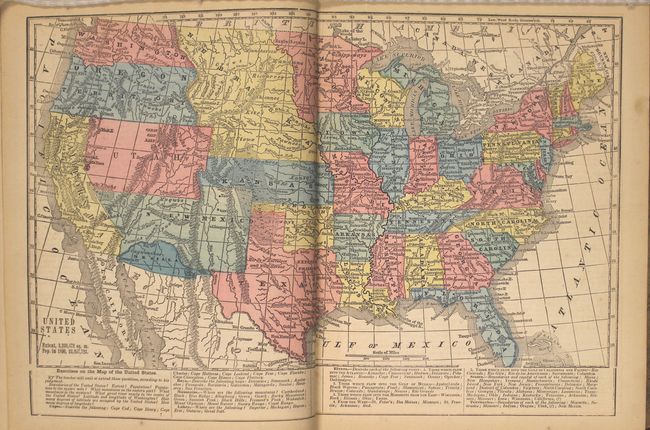
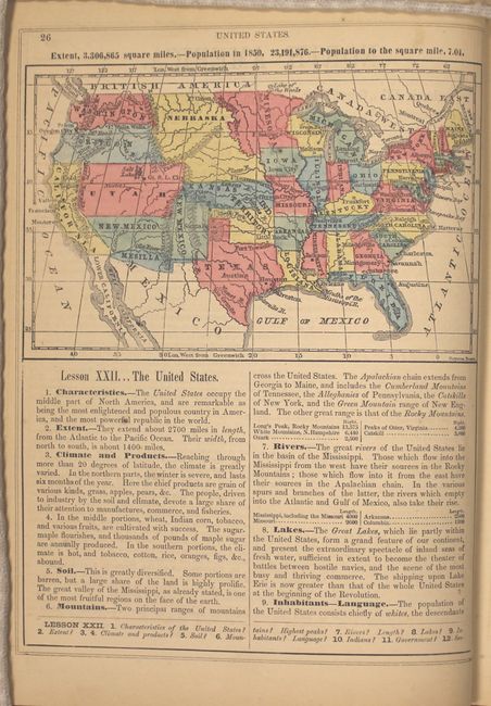
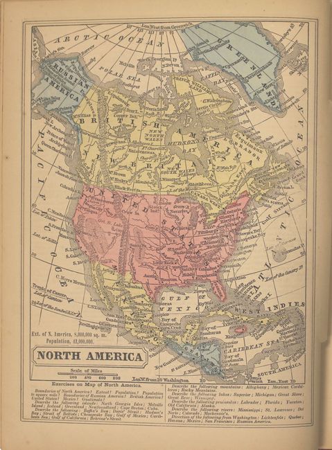
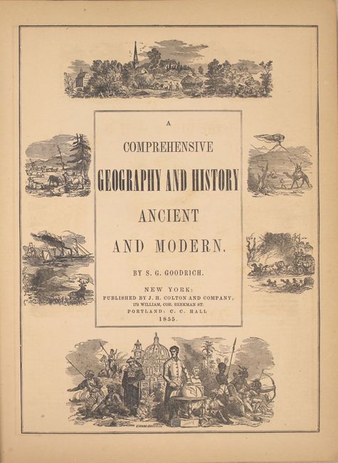
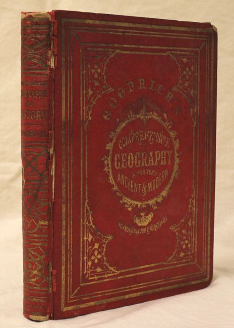
The map is bound into the front cover of A Comprehensive Geography and History Ancient and Modern (8.5 x 10.9"). It is filled with 79 hand colored illustrations interspersed within the text, including several single page maps, and a double-page map of the United States featuring the phantom territory of Mesilla below New Mexico. Several other maps also depict Mesilla. 272 pp. Hardbound in gilt stamped red cloth boards with gilt title on front cover and spine.
8.5 x 10.9"
References:
Condition: B+
The large folding map, issued with wide margins, has numerous extraneous creases and some occasional light foxing. The other maps and text are very good with light toning. The front hinge is starting, the covers are worn and bumped, and the spine is chipped.