Catalog Archive
Auction 147, Lot 93

"United States, and Canada", Johnston, W. & A.K.

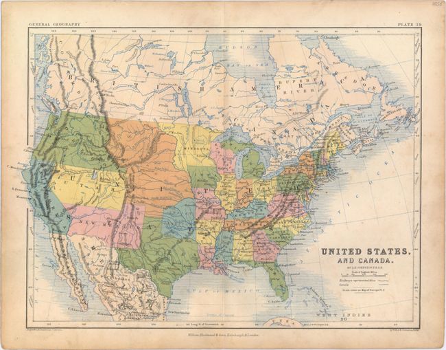
Subject: North America

Period: 1852 (circa)

Publication: General Geography

Color: Printed Color

Size:
12.9 x 9.3 inches
32.8 x 23.6 cm
Download High Resolution Image
(or just click on image to launch the Zoom viewer)

Attractive map of the continent spanning from the northern part of Mexico up to Hudson Bay. The map shows railways and canals in addition to many cities, rivers, lakes, and mountain ranges. Indian Territory appears in a rather unusual configuration, and New Mexico, Utah, and Oregon territories take up a vast portion of the west. The land between the Rockies and the Missouri is labeled Nebraska. Published by William Blackwood & Sons.

References:

Condition: B+

Light soiling.

Estimate: $80 - $100

Sold for: $40

Closed on 11/20/2013

Archived