Subject: Atlases, Civil War
Period: 1961 (dated)
Publication:
Color: Black & White
Size:
24.8 x 31 inches
63 x 78.7 cm
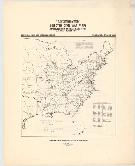
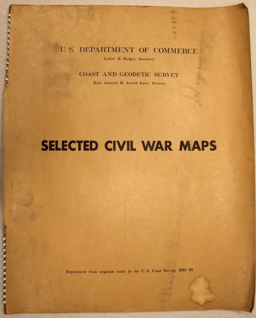
This double-elephant folio sized atlas contains 19 reproduced maps and 1 plate made by the U.S. Coast Survey during the Civil War. These maps, measuring approximately 20 x 34" each, were produced in partnership between the Department of Commerce and the Coast & Geodetic Survey exactly 100 years after the beginning of the Civil War. The reproductions include:
1. [Untitled - Map Index]
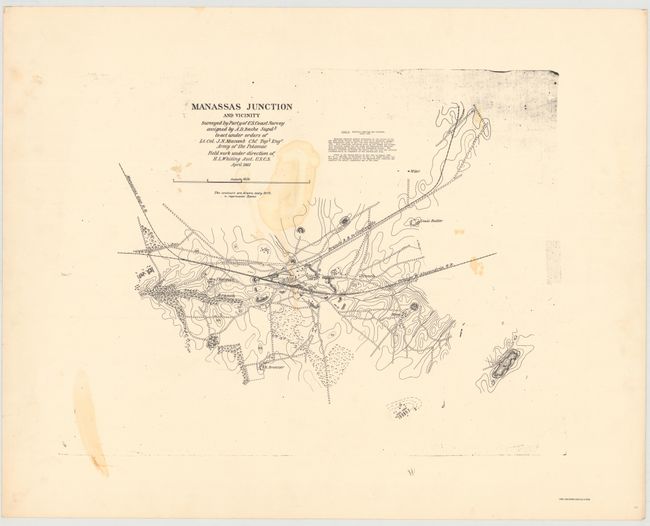
2. Manassas Junction
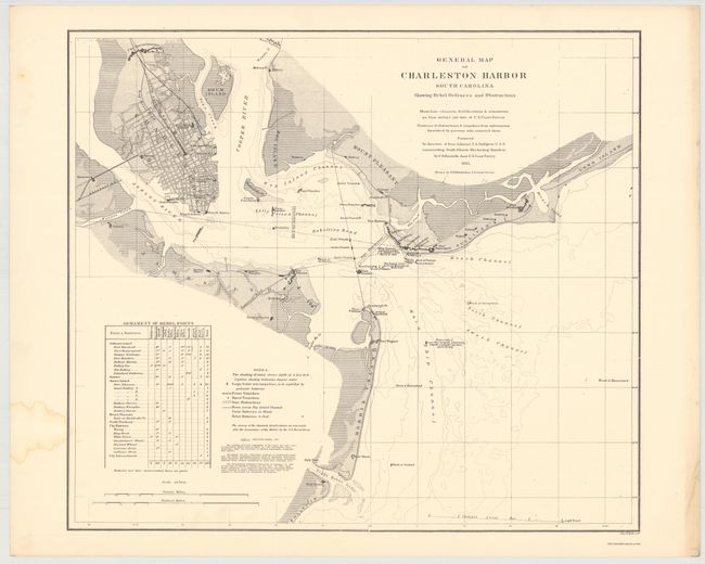
3. Charleston Harbor
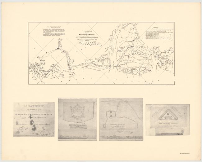
4. Map of Portions of Sea Coast of South Carolina and Georgia
5. Military Map of South-Eastern Virginia
6. Map of the City of Richmond
7. [Untitled - Reconnaissance of the Mississippi River]
8. Plan of Fort Jackson, La.
9. [Untitled - Fort Hindman, Arkansas]
10. Approaches to Vicksburg, Mississippi
11. Approaches to Grand Gulf
12. [Untitled - Position of Gun Boats at Grand Gulf]
13. Battle Ground of Sabine Cross Roads and Pleasant Hill
14. Chattanooga and its Approaches
15. Battlefield of Chickamauga, Georgia
16. Showing the Operations…During the Campaign Resulting in the Capture of Atlanta, Georgia
17. [Untitled - Plan of Final Attack on Fort Fisher]
18. [Sketches - Iron Clads, Fort Fisher]
19. Reconnaissance of Wilmington River from Wausau Sound to Savannah River
20. Northern Part of Florida
The maps are housed in large, tan, spiral-bound covers.
References: Stephenson #94.5.
Condition: B+
The map of Manassas Junction has a damp stain in the image, but the remaining maps are clean and bright with a few damp stains confined to the blank margins. Covers show light wear with minor soiling and a small damp stain.