Catalog Archive
Auction 147, Lot 620

"Carte de l'Empire Chinois et du Japon", Lapie/Tardieu

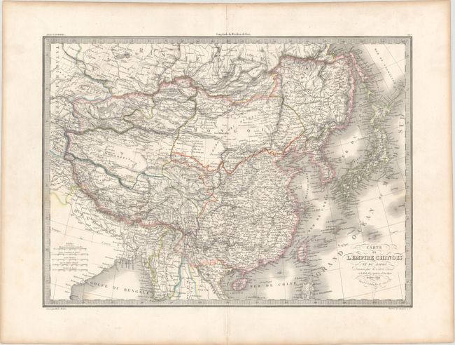
Subject: China, Korea & Japan

Period: 1841 (dated)

Publication: Atlas Universel

Color: Hand Color

Size:
21.7 x 15.8 inches
55.1 x 40.1 cm
Download High Resolution Image
(or just click on image to launch the Zoom viewer)

Beautifully engraved and highly detailed map that shows the size and breadth of China to include Taiwan (I. Formose) and extends to include Korea and all of Japan. Filled with watershed and topographical detail, the map also locates the Great Wall and scores of towns. A decorative keyboard-style border surrounds the map.

References:

Condition: B+

Original outline color on a bright sheet with wide margins and minor toning along sheet edges. There is very light scattered foxing, primarily at bottom right.

Estimate: $150 - $180

Unsold

Closed on 11/20/2013

Archived