Subject: Asia
Period: 1740-59 (circa)
Publication:
Color: Black & White
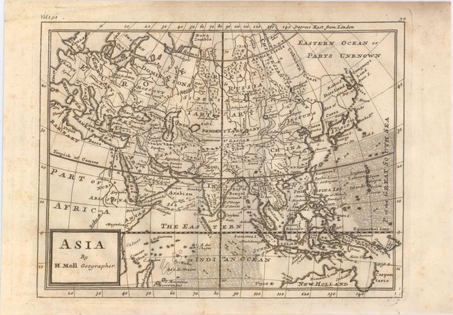
A. Asia, by Herman Moll, from Salmon's Modern History, circa 1740 (10.4 x 7.9"). Attractive reduced version of Moll's map of Asia (1708), which was based on the Delisle prototype. Moll continues the speculation that Iesso Land (Hokkaido) might be attached to the mainland. Published in London in Thomas Salmon's Modern History: or the Present State of All Nations. Condition: Faint toning and light, scattered foxing. (B+)
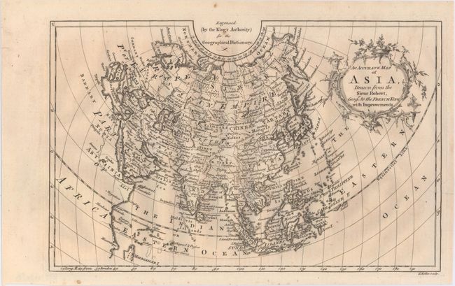
B. An Accurate Map of Asia, Drawn from the Sieur Robert, Geogr. to the French King, with Improvements, by George Rollos, from Geographical Dictionary, circa 1759 (11.9 x 7.6"). Detailed map depicting all of Europe and Asia showing cities, rivers and topography. The Great Wall of China is shown as Chinese Wall just north of Beijing. Condition: A nice impression with marginal soiling. (A)
References:
Condition:
See descriptions above.