Catalog Archive
Auction 147, Lot 50

"Terres Arctiques Dites Autrement Septemtrionales et Boreales", Duval, Pierre
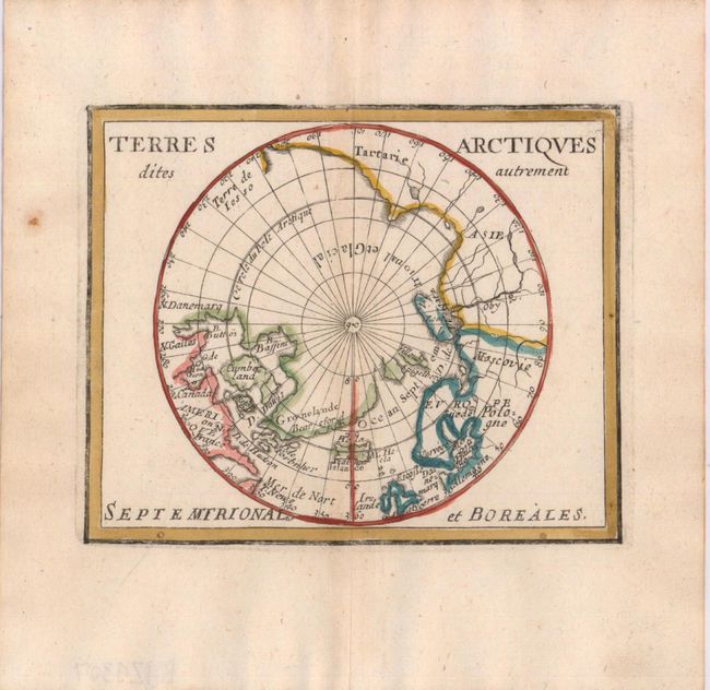
Subject: North Pole

Period: 1682 (published)

Publication: Le Monde ou la Geographie Universelle

Color: Hand Color

Size:
5 x 4 inches
12.7 x 10.2 cm
Download High Resolution Image
(or just click on image to launch the Zoom viewer)

Finely engraved miniature map of the North Pole detailing Hudson, Button and Baffin bays with fictitious islands of Spigelberg and Villoubi located just above the real island of Novaya Zemlya. The map is based on John Seller's polar projection. Pierre Duval was Nicolas Sanson's nephew and pupil. He published a wide range of atlases and individual maps including a fine miniature world geography with many of the maps based on Sanson.

References: Burden #363; Kershaw #253; King (2nd ed) pp. 132-135.

Condition: A

Watermarked paper with wide, original margins and a hint of toning along centerfold.

Estimate: $200 - $240

Unsold

Closed on 11/20/2013

Archived