Catalog Archive
Auction 147, Lot 416

"Cantyra Chersonesus, Cantyr a Demie-yland", Blaeu, Johannes

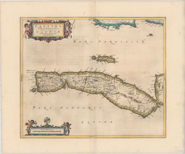
Subject: Western Scotland

Period: 1654 (published)

Publication: Theatrum Orbis Terrarum sive Atlas Novus

Color: Hand Color

Size:
19.6 x 16.3 inches
49.8 x 41.4 cm
Download High Resolution Image
(or just click on image to launch the Zoom viewer)

This finely engraved map depicts the peninsula of Kintyre within Argyll and Bute, with north oriented to the right. The map, based on the work of Timothy Pont, famous surveyor of Scotland in the late sixteenth century, includes great detail of the rivers, villages and castles. An elaborate title cartouche and scale of miles cartouche decorate the map, both illustrated with putti. Latin text on verso.

References: Van der Krogt (Vol. II) #5882:2.

Condition: B+

Attractive color and wide margins with light offsetting and some show-through of text on verso.

Estimate: $325 - $400

Sold for: $160

Closed on 11/20/2013

Archived