Subject: Europe
Period: 1803 (dated)
Publication:
Color: Hand Color
Size:
34.1 x 28.5 inches
86.6 x 72.4 cm
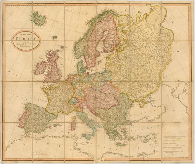
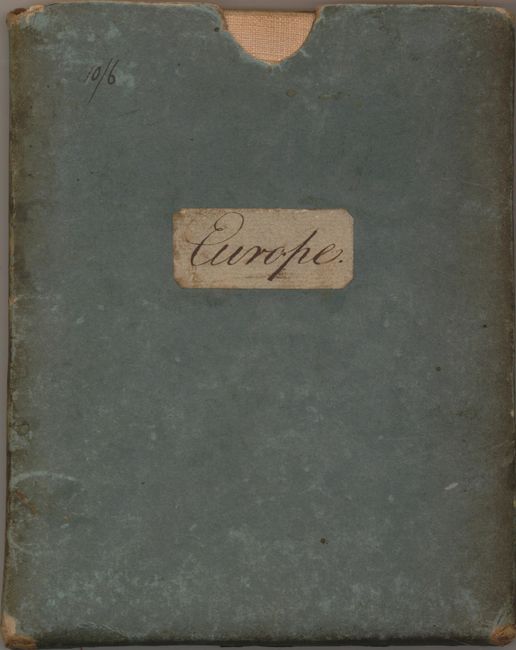
This uncommon folding map illustrates the political divisions of Europe on the eve of the Napoleonic Wars. This is the first edition, dated Nov. 1, 1803, published shortly after the dissolution of the Treaty of Amiens that had temporarily ended the hostilities between the French Republic and the British Empire. A color key at lower right indicates the boundaries of the dominant empires and alliances, as well as the “limits of France before the Revolution” and “the Boundary of Poland before its Dismemberment by Russia, Prussia and Austria.” This British map was issued, in both pocket and wall-map versions, in several editions over a short period of time to illustrate the changes and progress of the wars. Dissected, mounted on original linen, and folded into original pasteboard slipcase with a handwritten label.
References:
Condition: A
Original color with very light surface soil. There is minor rubbing on the slipcase. Excellent overall.