Catalog Archive
Auction 147, Lot 278

"Nuova e Corretta Carta dell' Indie Occidentali Cavata Dalle Migliori Autorita", Rossi, Veremondo

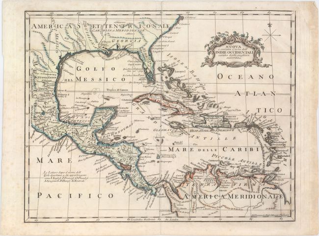
Subject: Gulf of Mexico and Caribbean

Period: 1763 (circa)

Publication:

Color: Hand Color

Size:
13.8 x 10.8 inches
35.1 x 27.4 cm
Download High Resolution Image
(or just click on image to launch the Zoom viewer)

This attractive and uncommon Italian map of the West Indies covers the region from the Carolinas south to the Oronoco River in South America. There is good detail of the islands and coastlines, with the southern tip of Florida being depicted as a series of islands. A key in the Pacific Ocean identifies which islands in the Caribbean are owned by the English, French, Dutch, Spanish, Danish and which are "neutral" islands.

References:

Condition: B+

There is a centerfold separation at top that enters 0.5" into the image closed on verso with archival tape and some faint scattered foxing in the image.

Estimate: $200 - $250

Sold for: $120

Closed on 11/20/2013

Archived